Enable Location

We need your location to show you interesting places around you

Discover nearby places

Find interesting locations and hidden gems around you

Precise directions

Get accurate directions and distances to places

Your location is never shared with other users. It's only used when you tap the location button.

Log in to your account

Start exploring — it's free

Trusted by 62,821 travelers worldwide

Continue with Google
Continue with Apple
or

We will send you a code to connect

By continuing, you accept our Terms and Conditions and our Privacy Policy

Check your inbox

We've sent a pincode in your inbox. Please enter the code below.

Stendal District, Rural district in Saxony-Anhalt, Germany

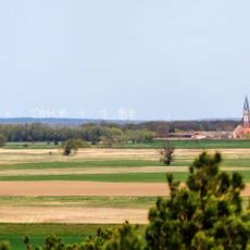
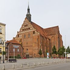
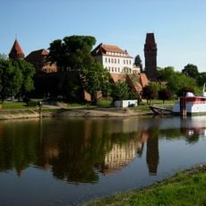
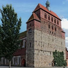
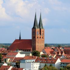
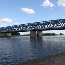
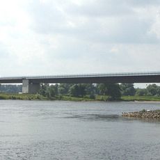
Stendal District is a rural area in Saxony-Anhalt that contains several towns and municipalities with distinct characters. The region is shaped by the rivers Elbe and Havel and features a mix of farmland, forests, and smaller settlements.

The district was formed in 1994 when three separate administrative regions merged into one unified jurisdiction. This reorganization created a new administrative framework for an area with centuries of settlement.

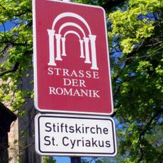
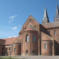
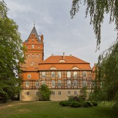
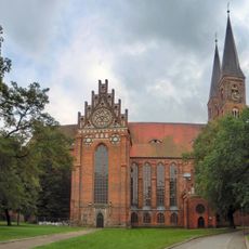
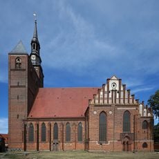
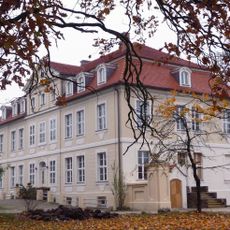
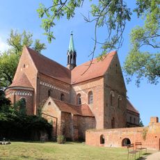
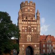
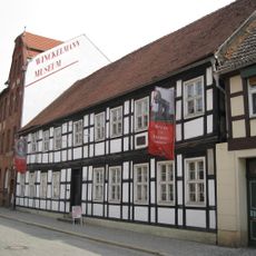
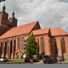
The district brings together communities that maintain their local traditions and craftsmanship as part of everyday life. Villages shape the region through their distinct building styles and how residents use public spaces for gatherings and celebrations.

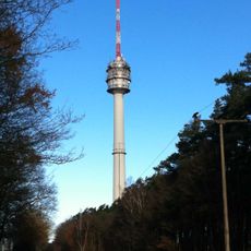
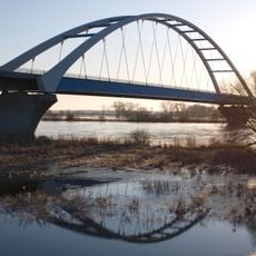
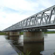
The area is well connected by road and rail, and the rivers provide helpful landmarks when exploring. A car or bicycle works best for seeing the region, since towns and villages are spread out across the landscape.

The district's coat of arms displays a red eagle and a golden three-leaf symbol representing the historical powers that once ruled the area. These symbols reflect how different rulers shaped the region across the centuries.

The community of curious travelers

AroundUs brings together thousands of curated places, local tips, and hidden gems, enriched daily by 60,000 contributors worldwide.

Start exploring
Location
Capital city
Stendal
Elevation above the sea
39 m
Shares border with
Havelland District, Lüchow-Dannenberg District, Prignitz District, Ostprignitz-Ruppin District, Jerichower Land, Börde district, Altmarkkreis Salzwedel
GPS coordinates
52.68333,11.85000
Latest update
December 20, 2025 01:27
« Stendal District - Rural district in Saxony-Anhalt, Germany » is provided by Around Us (aroundus.com). Images and texts are derived from Wikimedia project under a Creative Commons license. You are allowed to copy, distribute, and modify copies of this page, under the conditions set by the license, as long as this note is clearly visible.

Discover hidden gems everywhere you go!

From secret cafés to breathtaking viewpoints, skip the crowded tourist spots and find places that match your style. Our app makes it easy with voice search, smart filtering, route optimization, and insider tips from travelers worldwide. Download now for the complete mobile experience.

Around Us App Screenshot

A unique approach to discovering new places

Le Figaro

All the places worth exploring

France Info

A tailor-made excursion in just a few clicks

20 Minutes

Around Us
Travel Guide & Maps
Download

Send to your phone

QR Code
1

Open the camera app on your mobile.

2

Point at the QR code with your camera. A notification will appear.

3

Tap the notification to open the link.