Enable Location

We need your location to show you interesting places around you

Discover nearby places

Find interesting locations and hidden gems around you

Precise directions

Get accurate directions and distances to places

Your location is never shared with other users. It's only used when you tap the location button.

Hörstel

Log in to your account

Start exploring — it's free

Trusted by 61,908 travelers worldwide

Continue with Google
Continue with Apple
or

We will send you a code to connect

By continuing, you accept our Terms and Conditions and our Privacy Policy

Check your inbox

We've sent a pincode in your inbox. Please enter the code below.

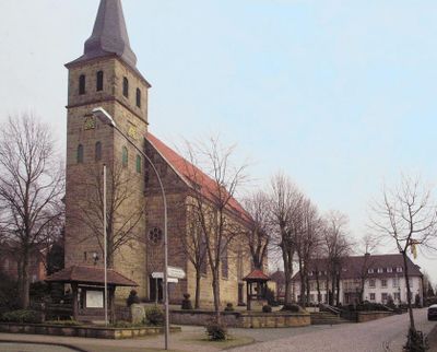
Hörstel, Urban municipality in Steinfurt district, Germany.

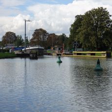
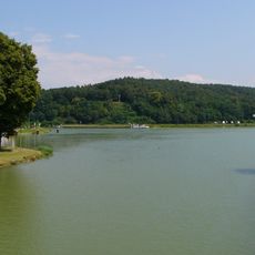
Hörstel is a town situated in the flat countryside between Osnabrück and Münster in North Rhine-Westphalia. It spreads across a mixture of residential neighborhoods, farms, and agricultural fields.

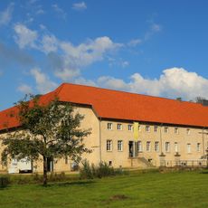
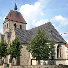
The region was settled in early times and developed into an important trading and agricultural center in the Westmünsterland area. Over centuries, the settlement grew through farming activities and local trade networks.

The community life here centers on local festivals and markets where neighbors gather and regional traditions come alive through seasonal celebrations.

The town is well connected by public buses to surrounding areas, and local administration offices handle everyday municipal matters. Services are generally available on weekdays, and visitor information points can help you find your way around.

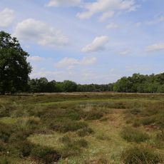
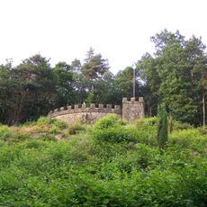
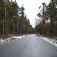
Near the town lies the Teutoburg Forest, a wooded area with extensive trail networks for outdoor activities. This proximity to natural landscapes makes the area a convenient base for exploring the forest and nearby hills.

The community of curious travelers

AroundUs brings together thousands of curated places, local tips, and hidden gems, enriched daily by 60,000 contributors worldwide.

Start exploring
Location
Elevation above the sea
45 m
Shares border with
Emsdetten, Ibbenbüren, Saerbeck, Schapen, Spelle, Hopsten, Rheine
GPS coordinates
52.29722,7.58611
Latest update
December 20, 2025 13:29
« Hörstel - Urban municipality in Steinfurt district, Germany » is provided by Around Us (aroundus.com). Images and texts are derived from Wikimedia project under a Creative Commons license. You are allowed to copy, distribute, and modify copies of this page, under the conditions set by the license, as long as this note is clearly visible.

Discover hidden gems everywhere you go!

From secret cafés to breathtaking viewpoints, skip the crowded tourist spots and find places that match your style. Our app makes it easy with voice search, smart filtering, route optimization, and insider tips from travelers worldwide. Download now for the complete mobile experience.

Around Us App Screenshot

A unique approach to discovering new places

Le Figaro

All the places worth exploring

France Info

A tailor-made excursion in just a few clicks

20 Minutes

Around Us
Travel Guide & Maps
Download

Send to your phone

QR Code
1

Open the camera app on your mobile.

2

Point at the QR code with your camera. A notification will appear.

3

Tap the notification to open the link.