Enable Location

We need your location to show you interesting places around you

Discover nearby places

Find interesting locations and hidden gems around you

Precise directions

Get accurate directions and distances to places

Your location is never shared with other users. It's only used when you tap the location button.

Log in to your account

Start exploring — it's free

Trusted by 62,247 travelers worldwide

Continue with Google
Continue with Apple
or

We will send you a code to connect

By continuing, you accept our Terms and Conditions and our Privacy Policy

Check your inbox

We've sent a pincode in your inbox. Please enter the code below.

Ruwer-Hochwald-Radweg

Ruwer-Hochwald-Radweg, Radweg auf ehemaliger Bahntrasse

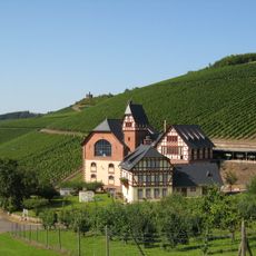
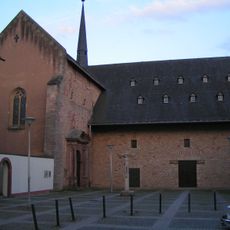
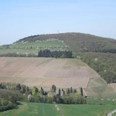
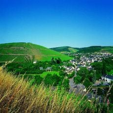
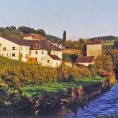
The Ruwer-Hochwald-Radweg is a 48 kilometer cycling route from Trier to Hermeskeil that follows a former railway line and runs mainly on the original track bed. The path features gentle slopes, passes through forests, vineyards and small villages, and preserves old railway bridges and station buildings from the Hochwaldbahn's history.

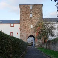
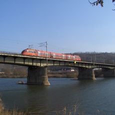
The route follows the Hochwaldbahn, a railway line built in the late 19th century that carried passenger and freight trains until service ended in the late 20th century. After closure, the original trackbed was gradually converted into a cycling path between 2005 and 2009, preserving much of the original route and many structures.

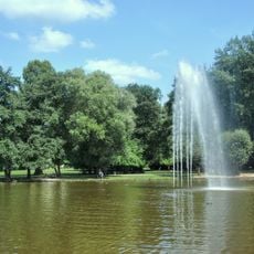
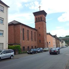
The route brings together people from different places and allows encounters in small village communities such as Waldrach or Kell am See. Visitors experience local traditions like regional wines and can connect with residents who enjoy sharing stories about their home.

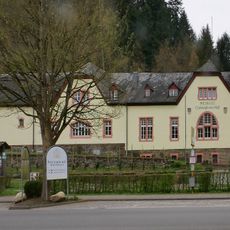
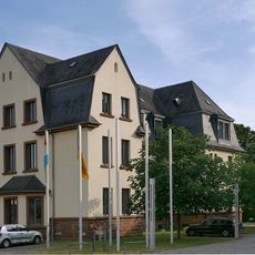
The route is well marked and equipped with GPS tracks for easy orientation. Towns such as Waldrach, Kell am See and Hermeskeil have rest areas, cafes and shops where travelers can stop for a break or purchase supplies.

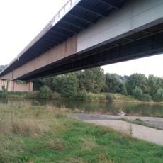
A distinctive feature is a 39 meter wooden bridge made from Siberian larch that replicates an old railway bridge and draws inspiration from Lucerne's Kapellbrücke design. This unusual structure makes the journey memorable and shows the care taken in converting the trail.

The community of curious travelers

AroundUs brings together thousands of curated places, local tips, and hidden gems, enriched daily by 60,000 contributors worldwide.

Start exploring
GPS coordinates
49.78281,6.70787
Latest update
February 7, 2026 11:00
« Ruwer-Hochwald-Radweg - Radweg auf ehemaliger Bahntrasse » is provided by Around Us (aroundus.com). Images and texts are derived from Wikimedia project under a Creative Commons license. You are allowed to copy, distribute, and modify copies of this page, under the conditions set by the license, as long as this note is clearly visible.

Discover hidden gems everywhere you go!

From secret cafés to breathtaking viewpoints, skip the crowded tourist spots and find places that match your style. Our app makes it easy with voice search, smart filtering, route optimization, and insider tips from travelers worldwide. Download now for the complete mobile experience.

Around Us App Screenshot

A unique approach to discovering new places

Le Figaro

All the places worth exploring

France Info

A tailor-made excursion in just a few clicks

20 Minutes

Around Us
Travel Guide & Maps
Download

Send to your phone

QR Code
1

Open the camera app on your mobile.

2

Point at the QR code with your camera. A notification will appear.

3

Tap the notification to open the link.