Bayerisch Eisenstein
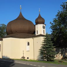
Bayerisch Eisenstein, Border municipality in Regen district, Bavaria, Germany.
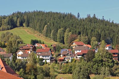
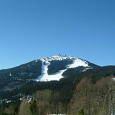
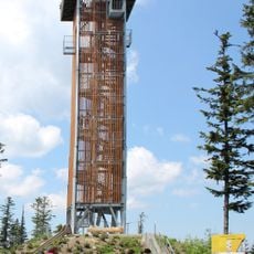
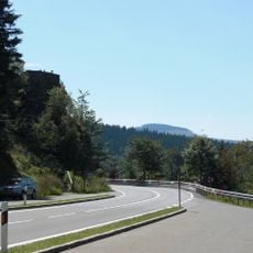
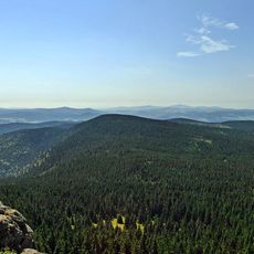
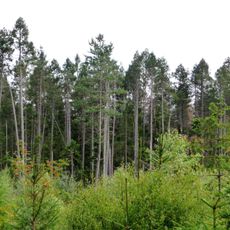
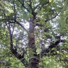
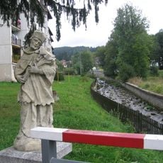
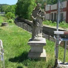
Bayerisch Eisenstein is a border municipality in the Regen district of Bavaria situated within the landscape of the Bavarian Forest. The area is characterized by dense woodlands and crossed by numerous hiking paths that lead to mountain destinations including Großer Arber.
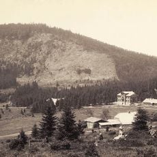
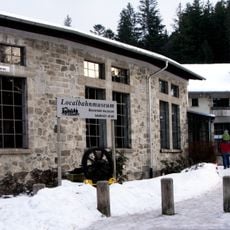
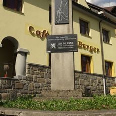
The settlement began in the 14th century along old trade routes and was later shaped by mining activities that drove the region's economic growth. Trade and resource extraction formed the place's structure and growth over the centuries.
The community celebrates Bavarian mountain culture through seasonal festivals and markets where local foods and crafts are shared with visitors. These gatherings show how deeply the place is tied to its forest surroundings and natural resources.
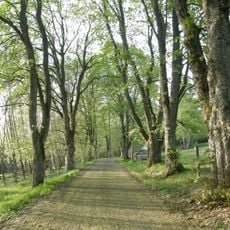
Visitors will find well-marked hiking paths with varying difficulty levels that lead to mountain destinations and through the forest landscape. These trails are accessible throughout the year and accommodate different fitness abilities.
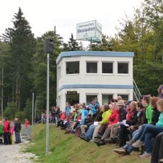
The railway station building is literally divided by the German-Czech border, with one side belonging to Germany and the other to the Czech Republic. This unusual split makes the station a distinctive place for crossing borders and gives visitors a direct sense of the border location.
Location: Regen
Elevation above the sea: 724 m
Shares border with: Lindberg, Zwiesel, Bodenmais, Lohberg, Železná Ruda
Website: https://bayerisch-eisenstein.de
GPS coordinates: 49.12228,13.20319
Latest update: December 20, 2025 02:18
Großer Arber
5 kmArber-Bergbahn
4.8 km
Spitzberg
5.6 km
Localbahnmuseum Bayerisch Eisenstein
300 m
Rozhledna Špičák u Železné Rudy
5.7 km
Hindenburgkanzel
4.3 km
Mittagsplatzl
5.4 km
Church of Saint Mary of Help
2.8 km
Hohenzollern Skistadion
3.8 km
Pfarrkirche St. Johannes Nepomuk
478 m
Seebachschleife
3.5 kmHochzellberg
7.1 kmBismarcktanne
3.9 kmJedle a smrky pod Strahovem
2.2 kmBaumdenkmal in Železná Ruda, Tschechische Republik (Gemeine Esche)
2.4 kmHochberg
1.6 km
Rotfilz
6.9 km
Alej u hřbitova
2.3 km
Alžbětínská lípa
944 m
Pomník na hrobu obětí pochodu smrti a pomník na hrobu tří rudoarmějců
2.5 kmHofkapelle
6.2 kmKapelle mit Dachreiter
627 m
Socha svatého Jana Nepomuckého na mostě přes Řeznou
2.2 kmParkvilla
139 m
Pomník vojenské vzpoury
2.8 km
Chapel of Saint Anthony of Padua and Saint Barbara (Železná Ruda)
3 kmKantine Seebachschleife 1 in Bayerisch Eisenstein
3.5 km
Socha svatého Jana Nepomuckého u mostu ve Sklářské ulici v Železné Rudě
2.7 kmVisited this place? Tap the stars to rate it and share your experience / photos with the community! Try now! You can cancel it anytime.
Discover hidden gems everywhere you go!
From secret cafés to breathtaking viewpoints, skip the crowded tourist spots and find places that match your style. Our app makes it easy with voice search, smart filtering, route optimization, and insider tips from travelers worldwide. Download now for the complete mobile experience.
A unique approach to discovering new places❞
— Le Figaro
All the places worth exploring❞
— France Info
A tailor-made excursion in just a few clicks❞
— 20 Minutes