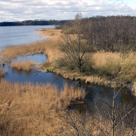
Hemmelsdorfer See, Lake in Ratekau, Germany
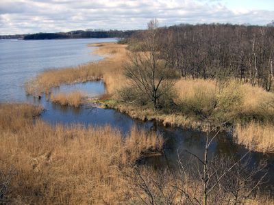
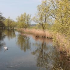
Hemmelsdorfer See is a lake north of Lübeck, split by the Möveninsel into a shallow northern basin about four metres deep and a southern basin reaching 39.5 metres, Germany's deepest mainland point. It lies at -0.10 m, covers 4.48 km², and drains via the Aalbek into the Lübecker Bucht.
The lake originated after the Weichselian glaciation, when a glacier-carved trough still connected to the Baltic Sea as the Hemmelsförde. Sand eroded from the Brodtener Ufer and carried west by currents cut this inlet off from the sea, leaving today's lake. Since then it has been claimed that the Viking settlement of Reric lay in its upper part, though little evidence has been found.
The lake's name comes from Hemmelsdorf, one of seven villages on its shore, alongside Offendorf, Kreuzkamp, Wilmsdorf, Warnsdorf, Häven and Niendorf. At Niendorf the outflow, the Aalbek, empties into the Lübecker Bucht. The northern basin and the adjoining Aalbeek lowland have been a nature reserve since 31 December 1984.
The shoreline is accessible at several points with parking available for visitors. Marked trails connect to observation areas where you can watch birds and other wildlife.
The southern basin is a cryptodepression reaching 39.5 m, Germany's deepest mainland point, marked by a buoy after a 2007 Hamburg HafenCity University sonar survey. Below about 7 m the water holds no oxygen in summer, so the lake mixes only in its upper layer.
The community of curious travelers
AroundUs brings together thousands of curated places, local tips, and hidden gems, enriched daily by 94,638 contributors worldwide.