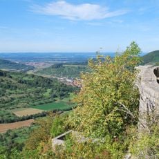
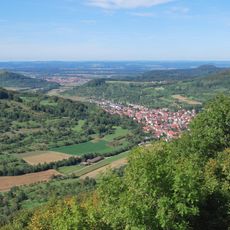
Schwäbische Alb, UNESCO Biosphere Reserve in Baden-Württemberg, Germany.
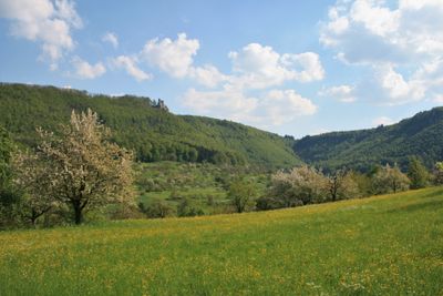
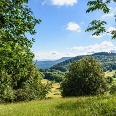
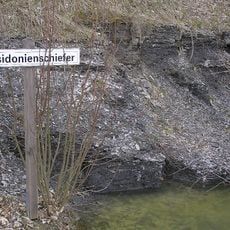
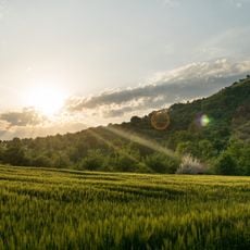
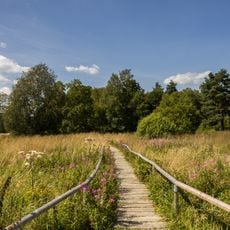
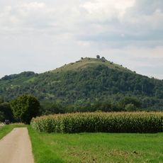
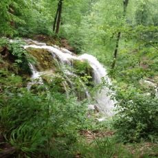
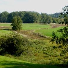
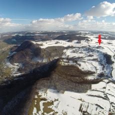
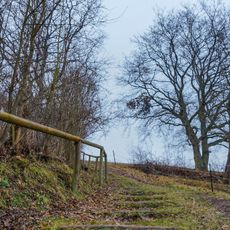
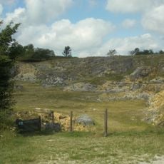
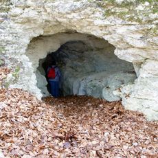
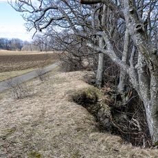
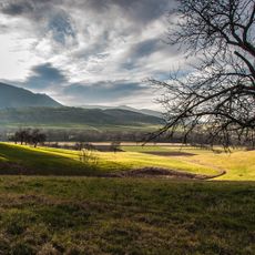
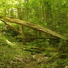
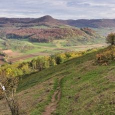
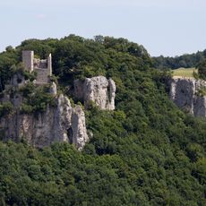
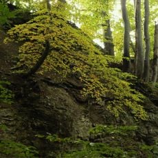
Schwäbische Alb is a biosphere reserve featuring limestone terrain with rolling hills, meadows, beech forests, and juniper heaths spread across Baden-Württemberg. The landscape contains natural caves, springs, and is crisscrossed by established walking routes through varied environments.
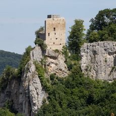
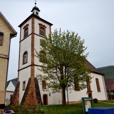
The area gained UNESCO Biosphere Reserve status in 2009 to protect its natural landscape and promote sustainable development across the region. Medieval castles and monasteries scattered throughout show the region's long human settlement history.
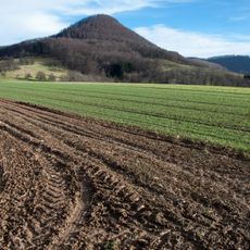
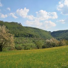
The region draws its name from Swabian traditions rooted in local Württemberg heritage, visible in the villages and farming practices today. Residents rely on sheep herding and fruit cultivation, practices that continue to shape the appearance of the hills.
The reserve is accessible through various towns and villages, with routes suited to different fitness levels and interests. Spring and autumn offer the best visiting conditions, with mild weather and easily walkable trails.
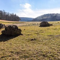
The area holds scattered fruit trees numbering in the hundreds of thousands, shaping the landscape character and supporting local farming traditions. Large flocks of sheep also graze on former military training grounds, using their grazing to maintain landscape diversity.
The community of curious travelers
AroundUs brings together thousands of curated places, local tips, and hidden gems, enriched daily by 60,000 contributors worldwide.