Enable Location

We need your location to show you interesting places around you

Discover nearby places

Find interesting locations and hidden gems around you

Precise directions

Get accurate directions and distances to places

Your location is never shared with other users. It's only used when you tap the location button.

Hoher List

Log in to your account

Start exploring — it's free

Trusted by 62,843 travelers worldwide

Continue with Google
Continue with Apple
or

We will send you a code to connect

By continuing, you accept our Terms and Conditions and our Privacy Policy

Check your inbox

We've sent a pincode in your inbox. Please enter the code below.

Hoher List

Hoher List, Mountain in Vulkan Eifel, Germany.

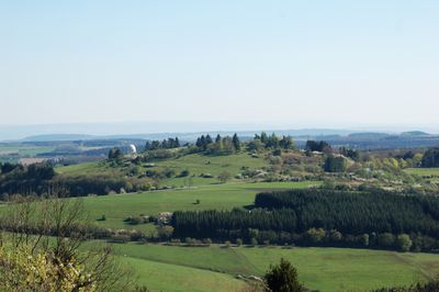
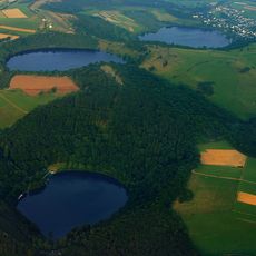
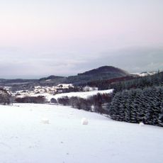
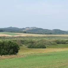
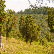
Hoher List is a mountain in the volcanic Eifel region of Rhineland-Palatinate, rising to about 549 meters above sea level. The peak sits within a landscape shaped by ancient volcanic activity and forms part of a distinctive geological area near Schalkenmehren.

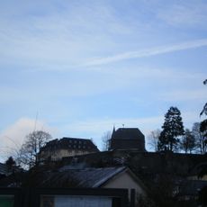
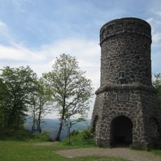
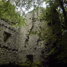
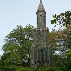
The mountain carries marks of human settlement, including remains of Altburg castle on its southwestern side dating back several centuries. These structures show that the location held strategic importance for communities living in the area over generations.

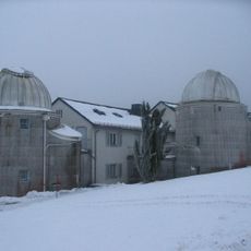
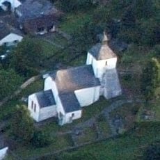
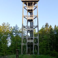
The observatory at the summit draws amateur and professional observers interested in stargazing and space research, making it an active hub for astronomy. The building and surrounding areas reflect the deep connection this mountain has developed with scientific inquiry over many decades.

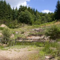
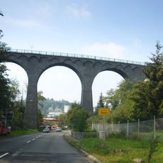
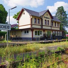
The mountain is accessible via the L 64 state road from nearby towns of Schalkenmehren and Brockscheid, making access straightforward. Visitors should wear sturdy footwear and bring weather-appropriate clothing, as the exposed peak means conditions can change quickly.

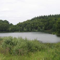
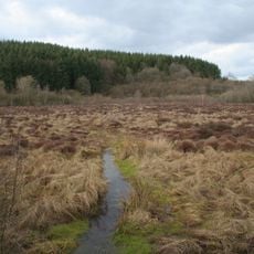
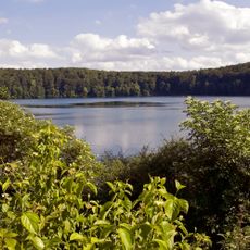
The mountain sits directly beside the Schalkenmehrener Maar, a crater lake resting in one of the sharpest volcanic depressions in the region. This close proximity makes the location a key point for understanding how the Eifel's volcanic past shaped its present landscape.

The community of curious travelers

AroundUs brings together thousands of curated places, local tips, and hidden gems, enriched daily by 60,000 contributors worldwide.

Start exploring
Elevation above the sea
549.1 m
Part of
Vulkan Eifel
GPS coordinates
50.16268,6.84828
Latest update
December 14, 2025 17:42
« Hoher List - Mountain in Vulkan Eifel, Germany » is provided by Around Us (aroundus.com). Images and texts are derived from Wikimedia project under a Creative Commons license. You are allowed to copy, distribute, and modify copies of this page, under the conditions set by the license, as long as this note is clearly visible.

Discover hidden gems everywhere you go!

From secret cafés to breathtaking viewpoints, skip the crowded tourist spots and find places that match your style. Our app makes it easy with voice search, smart filtering, route optimization, and insider tips from travelers worldwide. Download now for the complete mobile experience.

Around Us App Screenshot

A unique approach to discovering new places

Le Figaro

All the places worth exploring

France Info

A tailor-made excursion in just a few clicks

20 Minutes

Around Us
Travel Guide & Maps
Download

Send to your phone

QR Code
1

Open the camera app on your mobile.

2

Point at the QR code with your camera. A notification will appear.

3

Tap the notification to open the link.