
Rauheck, Berggipfel in Deutschland
Location: Bavaria
Elevation above the sea: 1,823 m
GPS coordinates: 47.70556,12.99222
Latest update: March 31, 2025 01:30
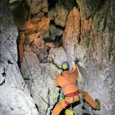
Riesending cave
1.1 km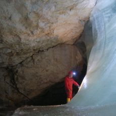
Schellenberger Eishöhle
1.2 km
Almbachklamm
4.4 km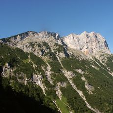
Berchtesgadener Hochthron
1.4 km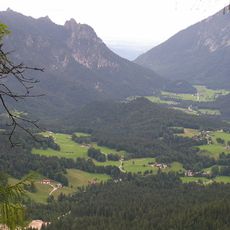
Hallthurm
4.4 km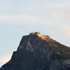
Sender Untersberg
2.3 km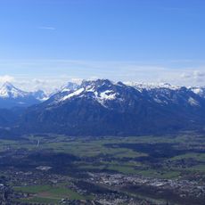
Salzburger Hochthron
1.7 km
Kolowratshöhle
2.8 km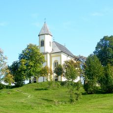
Wallfahrtskirche Mariä Heimsuchung (Ettenberg)
4 km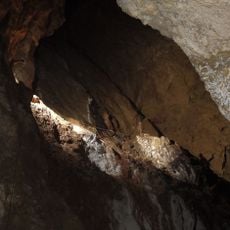
Windlöcher
2.4 km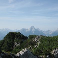
Großer Rauhenkopf
4.2 km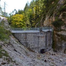
Theresienklause
3.3 km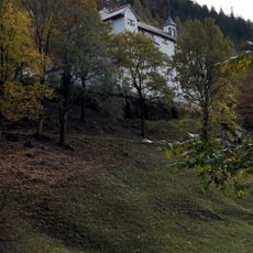
Castel Gartenau
4.5 km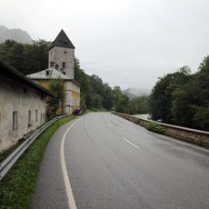
Schellenberger Turm
3.5 km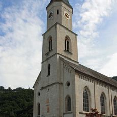
St. Nikolaus
4.3 km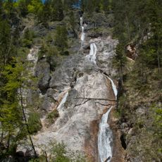
Sulzer Wasserfall
3.8 km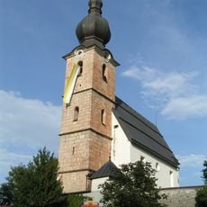
Wallfahrtskirche St. Leonhard, Grödig
4.6 km
Geiereck
2.2 km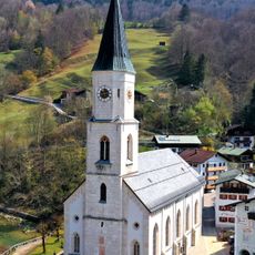
St. Nikolaus
4.3 km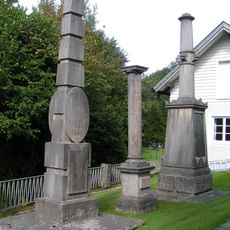
Gedächtnissäulen, Untersbergmuseum
4.1 km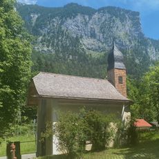
Kapelle am Hallthurm
4.4 km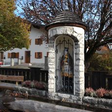
Nepomukkapelle
4.6 km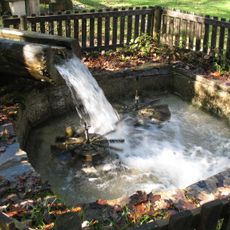
Untersbergmuseum
4.1 km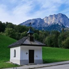
Hofkapelle
4.7 km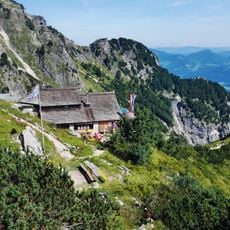
Untersberg
2.2 km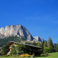
Untersberglehen
3.7 km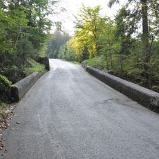
Straßenbrücke am Veitlbruch
3.4 km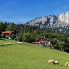
Obersommerau-Lehen
4.2 kmReviews
Visited this place? Tap the stars to rate it and share your experience / photos with the community! Try now! You can cancel it anytime.
Discover hidden gems everywhere you go!
From secret cafés to breathtaking viewpoints, skip the crowded tourist spots and find places that match your style. Our app makes it easy with voice search, smart filtering, route optimization, and insider tips from travelers worldwide. Download now for the complete mobile experience.

A unique approach to discovering new places❞
— Le Figaro
All the places worth exploring❞
— France Info
A tailor-made excursion in just a few clicks❞
— 20 Minutes