
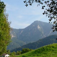
Brücke über den Staubbach
Brücke über den Staubbach, unterjettenberg; hohe Pfeiler aus Haustein, an die Brückenköpfe anschließende Stützmauern; um 1820; in der Nähe des ehemaligen Brunnhauses (Haus Nr. 1)
Location: Schneizlreuth
Address: Latschenberg;Schwarzbach Mähder;Unterjettenberg 1
GPS coordinates: 47.67646,12.83012
Latest update: April 24, 2025 10:21
Predigtstuhl
4.3 km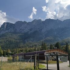
Seilbahn Reiteralpe
2.3 km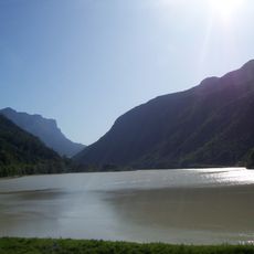
Saalachsee
4.5 km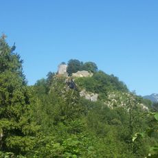
Ruine Karlstein
4.8 km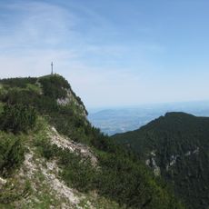
Karkopf
4.8 km
Thumseebad
4.9 km
Ristfeuchthorn
4.1 km
St. Pankraz
4.9 km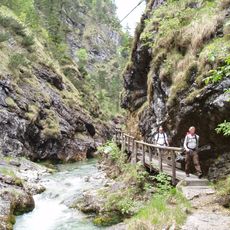
Weißbach
2.5 km
Burgstall Amerang
4.5 km
Seewirt (Bad Reichenhall)
4.8 km
Burgstall Vager
4.9 km
Hochschlegel
4.4 km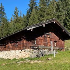
Schlegelalm
3.6 km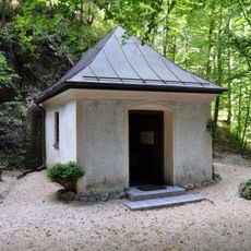
Antonibergkapelle
3.8 km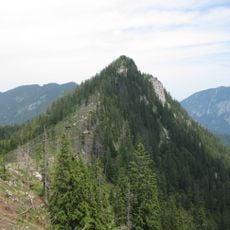
Karspitz
4.8 km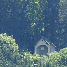
Amalienruhe
4.9 km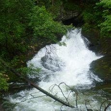
Schwarzbachloch
4.4 km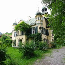
Schlössl (Bad Reichenhall)
4.8 km
Aschau
4.9 km
Schwarzbach
1.5 km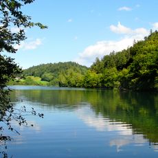
LSG Thumsee, Stadt Bad Reichenhall und Gemeinde Schneizlreuth
4.4 km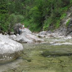
LSG Oberes Saalachtal mit Wendelberg und Kienberg, Gemeinde Schneizlreuth
2.1 km
LSG Lattengebirge
3.8 km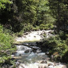
NSG 'Aschau', NSG 'Schwarzbach' und Schwimmendes Moos
2.6 km
Ehemaliges Forsthaus, sogenanntes Schlössl
4.8 km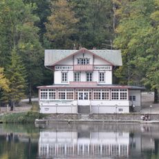
Ehemalige Villa Pachmayr, jetzt Gasthaus Seewirt am Thumsee
4.8 km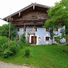
Bauernhof Palfner
4.8 kmReviews
Visited this place? Tap the stars to rate it and share your experience / photos with the community! Try now! You can cancel it anytime.
Discover hidden gems everywhere you go!
From secret cafés to breathtaking viewpoints, skip the crowded tourist spots and find places that match your style. Our app makes it easy with voice search, smart filtering, route optimization, and insider tips from travelers worldwide. Download now for the complete mobile experience.

A unique approach to discovering new places❞
— Le Figaro
All the places worth exploring❞
— France Info
A tailor-made excursion in just a few clicks❞
— 20 Minutes