
Gerolsteiner Kalkeifel, protected area in the European Union defined by the habitats directive in Rheinland-Pfalz, Germany
Location: Densborn
Location: Mürlenbach
Location: Birresborn
Location: Gerolstein
Location: Pelm
Location: Rockeskyll
Location: Dohm-Lammersdorf
Location: Hillesheim
Location: Hohenfels-Essingen
Location: Walsdorf
Location: Berndorf
Location: Kerpen
Location: Oberehe-Stroheich
Location: Dreis-Brück
Location: Daun
Location: Hinterweiler
Location: Kirchweiler
Location: Berlingen
Location: Neroth
Location: Oberstadtfeld
Location: Wallenborn
Location: Salm
Inception: 2000
GPS coordinates: 50.21457,6.70229
Latest update: May 29, 2025 23:19
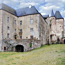
Lissingen Castle
4.5 km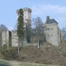
Kasselburg
3 km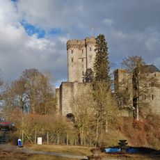
Adler- und Wolfspark Kasselburg
3 km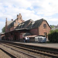
Gerolstein station
3.2 km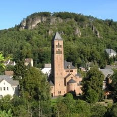
Erlöserkirche
3.5 km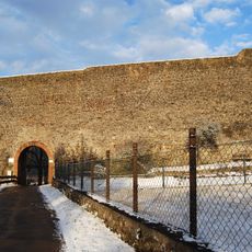
Burg Gerolstein
2.6 km
Nerother Kopf
4.7 km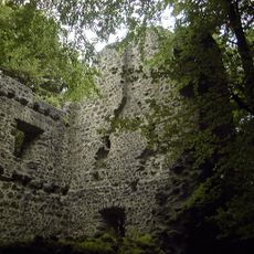
Freudenkoppe
4.8 km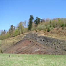
Rockeskyllerkopf
4.6 km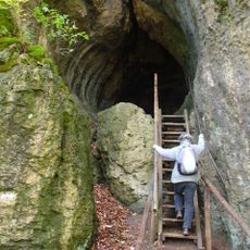
Buchenloch
3.6 km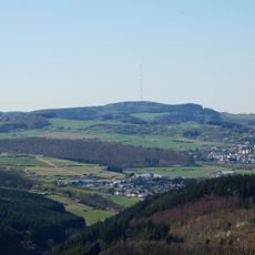
Scharteberg
3.6 km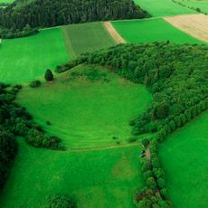
Papenkaule
3.2 km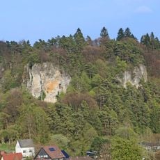
Munterley
3.6 km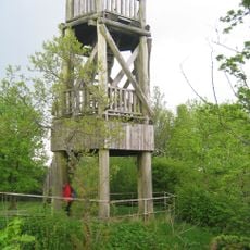
Dietzenley
2.2 km
Juddekirchhof
2.7 km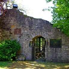
Villa Sarabodis
4 km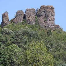
Gerolsteiner Dolomiten (Auberg, Munterley, Hustley, Papenkaule und Juddenkirchhof)
3.4 km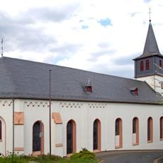
St. Anna
2.8 km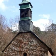
Büschkapelle Gerolstein
2 km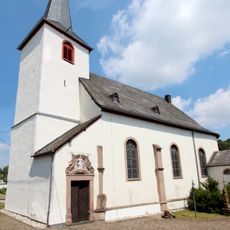
Church St. Bartolomäus (Rockeskyll)
4.5 km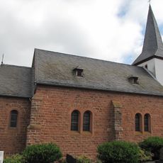
Saint Nicholas Church
595 m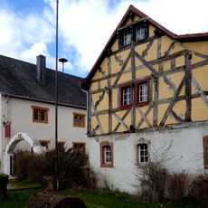
Kreisheimatmuseum Gerolstein
3.7 km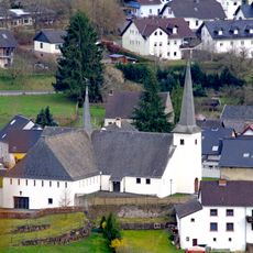
St. Willibrord
2.3 km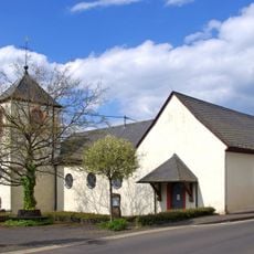
St. Johannes Baptist
2.8 km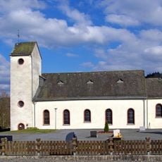
St. Margareta
4.6 km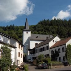
St. Stephan (Michelbach)
4 km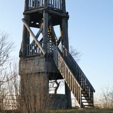
Dietzenley Observation Tower
2.2 km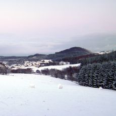
Nerother Kopf
4.5 kmReviews
Visited this place? Tap the stars to rate it and share your experience / photos with the community! Try now! You can cancel it anytime.
Discover hidden gems everywhere you go!
From secret cafés to breathtaking viewpoints, skip the crowded tourist spots and find places that match your style. Our app makes it easy with voice search, smart filtering, route optimization, and insider tips from travelers worldwide. Download now for the complete mobile experience.

A unique approach to discovering new places❞
— Le Figaro
All the places worth exploring❞
— France Info
A tailor-made excursion in just a few clicks❞
— 20 Minutes