
Unteres Mittelrheingebiet, special protection areas in Rheinland-Pfalz, Germany
Location: Saffig
Location: Hammerstein
Location: Rheinbrohl
Location: Andernach
Location: Mayen
Location: Ochtendung
Location: Polch
Location: Trimbs
Location: Welling
Location: Bell
Location: Mendig
Location: Rieden
Location: Kruft
Location: Nickenich
Location: Plaidt
Location: Ettringen
Location: Kottenheim
Location: Bassenheim
Location: Brohl-Lützing
Location: Weibern
Location: Wassenach
Location: Spessart
Location: Burgbrohl
Location: Brenk
Inception: 2007
GPS coordinates: 50.39710,7.37770
Latest update: March 30, 2025 18:55
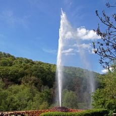
Andernach Geyser
5.7 km
St. Bartholomäus
5.9 km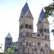
Liebfrauenkirche in Andernach
4.9 km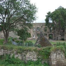
Stadtburg Andernach
5.1 km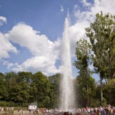
Geyser information centre
5.2 km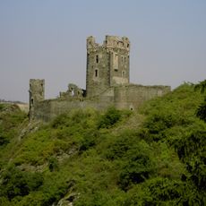
Burg Wernerseck
2.8 km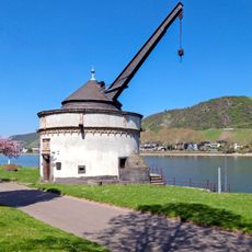
Alter Krahnen
5.3 km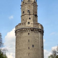
Round Tower
5 km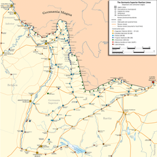
Castrum Antunnacum
5 km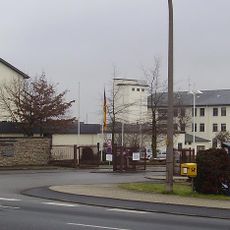
Krahnenberg-Kaserne
3.7 km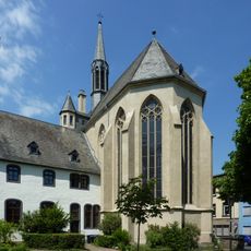
Christuskirche (Andernach)
5.1 km
Hospitalkapelle St. Nikolaus und Elisabeth
5.1 km
Krahnenbergbrücke
5.2 km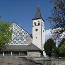
St. Martin
5.5 km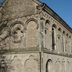
St. Michael (Andernach)
4.4 km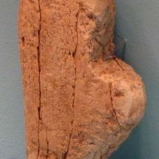
Venus of Andernach
4.4 km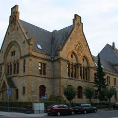
Amtsgericht Andernach
5.1 km
Vulkanpark Infozentrum
2 km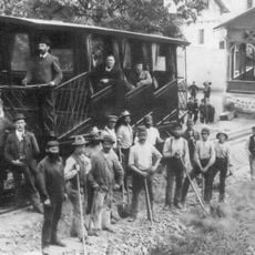
Krahnenbergbahn
5 km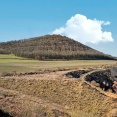
Korretsberg
2.6 km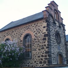
Synagoge Saffig
3.5 km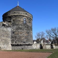
Pulverturm, Andernach
5 km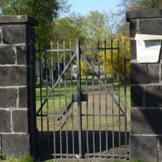
Jüdischer Friedhof Andernach
5.3 km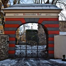
Himmeroder Hof
4.9 km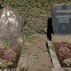
Jüdischer Friedhof
2.6 km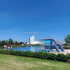
Ons Schwemmbad
4.5 km
Jüdischer Friedhof
5.5 km
St. Arnulf
4.1 kmReviews
Visited this place? Tap the stars to rate it and share your experience / photos with the community! Try now! You can cancel it anytime.
Discover hidden gems everywhere you go!
From secret cafés to breathtaking viewpoints, skip the crowded tourist spots and find places that match your style. Our app makes it easy with voice search, smart filtering, route optimization, and insider tips from travelers worldwide. Download now for the complete mobile experience.

A unique approach to discovering new places❞
— Le Figaro
All the places worth exploring❞
— France Info
A tailor-made excursion in just a few clicks❞
— 20 Minutes