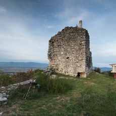
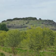
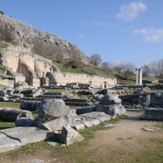
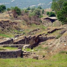
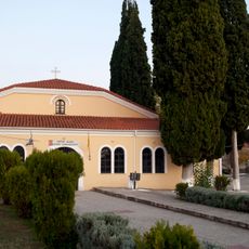
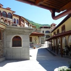
Pangaion Hills, Mountain range in Serres and Kavala regional units, Greece.
The Pangaion Hills are a mountain range about 40 km west of Kavala, covering the southeast of the Serres regional unit and the northwest of the Kavala regional unit, which holds most of the massif. The highest point is 1,956 m at the Koutra peak. The range lies between the Strymon and Xiropotamos rivers and is covered with oriental plane and chestnut trees.
In ancient times, gold and silver deposits attracted Athenian colonists to settle in the region. The tyrant Pisistratus sought refuge here, underlining the mountain's strategic importance in the classical world.
The mountain's name comes from Pangaeus, son of Ares and Critobule, who killed himself there after unknowingly sleeping with his daughter. On the summit stood the oracle of Dionysus, controlled by the Satrae, with a woman prophetess and priests drawn from the Bessi. The monastery of Panagia Eikosifoinissa, founded in the 5th century AD, later became a centre of learning.
The summit is Koutra at 1,956 m, not Avgo. The old mountain road passes the entrance of an ancient mine just before the ChatziGeorgiou refuge. The Forestry Offices of Kavala and Serres manage the mountain.
The peak is called Koutra, not Avgo; Greek sources name the summit Mati at 1,956 m. On the old mountain road just before the Chatzieorgiou refuge, one entrance of the ancient mines that gave the range its gold is still visible. The range also carries rock carvings, called akidographimata, cut into granite and limestone, showing animals and people; archaeology knows little about them.
The community of curious travelers
AroundUs brings together thousands of curated places, local tips, and hidden gems, enriched daily by 92,999 contributors worldwide.