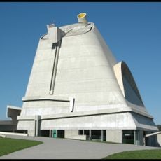
Saint-Étienne, Industrial municipality in Auvergne-Rhône-Alpes, France
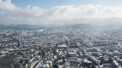
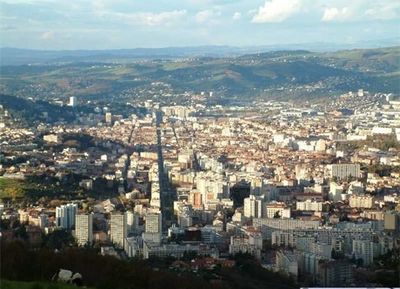
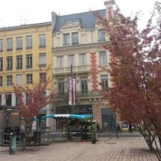
Saint-Étienne sits about 60 kilometers southwest of Lyon in the Loire department at an elevation of roughly 520 meters (1,700 feet). The municipality spreads across hills and valleys with residential neighborhoods radiating from the compact downtown area.
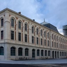
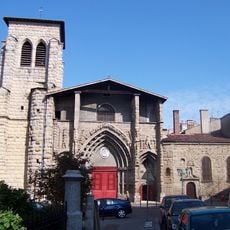
The town grew from a medieval settlement around a chapel dedicated to Saint Stephen. Factories multiplied in the 1800s when coal mines opened and arms workshops expanded across the hillsides.
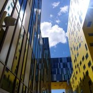
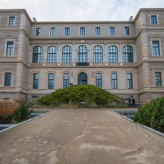
The Musée d'Art Moderne houses an extensive collection of contemporary artworks, while the Cité du Design promotes innovation through exhibitions and research programs.
Three tram lines run through the city center and connect outer neighborhoods to the main train station. Many streets climb steeply so comfortable shoes help when walking between districts.
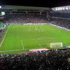
The city received UNESCO recognition as a City of Design in 2010 and hosts a major international design festival every other year. Football fans know the local club as one of France's most successful teams from the mid-20th century.
The community of curious travelers
AroundUs brings together thousands of curated places, local tips, and hidden gems, enriched daily by 60,000 contributors worldwide.