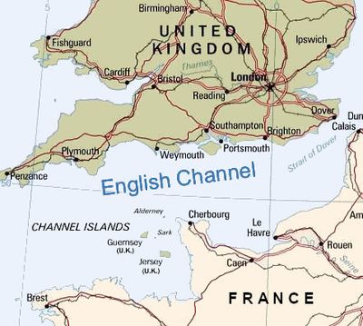
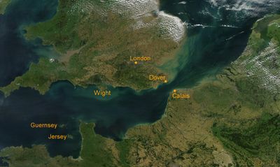
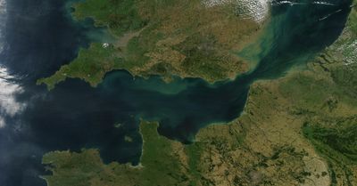
English Channel, Sea strait between southern England and northern France
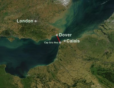
This strait stretches 560 kilometers between the south coast of England and the northern coast of France, linking the southern North Sea with the Atlantic Ocean. Water depth varies widely, reaching 180 meters in some places, and the seabed contains channels, ridges and shallow areas that shift with the tides.
Allied forces crossed from England to the beaches of Normandy in 1944, an operation now remembered as D-Day. This invasion marked the start of the liberation of Western Europe and shifted the direction of the war.
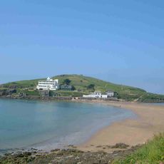
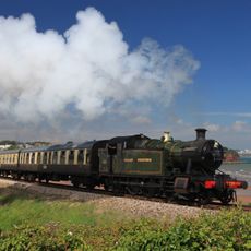
Fishing communities on both coasts still bring their catch to harbour each morning, where you can watch boats unload and locals gather to inspect the day's haul. Many towns maintain traditions tied to the sea, with restaurants serving fish straight from the boats and markets selling fresh catches alongside gear for sailors and anglers.
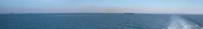
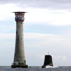
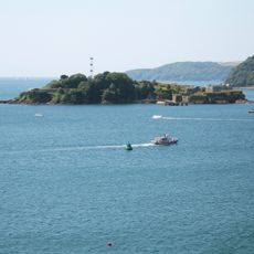
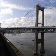
Ships follow assigned traffic lanes that divide the waterway into separate routes to avoid collisions. More than 500 vessels pass through daily, so you can often spot cargo ships, ferries and tankers from the shore.
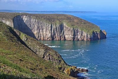
The seabed holds remains of ancient river valleys and land bridges that once linked Britain to mainland Europe during the last ice age. These underwater landscapes appear on geological surveys and show where people and animals walked across dry land thousands of years ago.
The community of curious travelers
AroundUs brings together thousands of curated places, local tips, and hidden gems, enriched daily by 60,000 contributors worldwide.