Enable Location

We need your location to show you interesting places around you

Discover nearby places

Find interesting locations and hidden gems around you

Precise directions

Get accurate directions and distances to places

Your location is never shared with other users. It's only used when you tap the location button.

La Garenne-Colombes

Log in to your account

Start exploring — it's free

Trusted by 62,119 travelers worldwide

Continue with Google
Continue with Apple
or

We will send you a code to connect

By continuing, you accept our Terms and Conditions and our Privacy Policy

Check your inbox

We've sent a pincode in your inbox. Please enter the code below.

La Garenne-Colombes

La Garenne-Colombes, Administrative commune in Hauts-de-Seine, France.

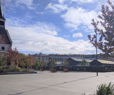
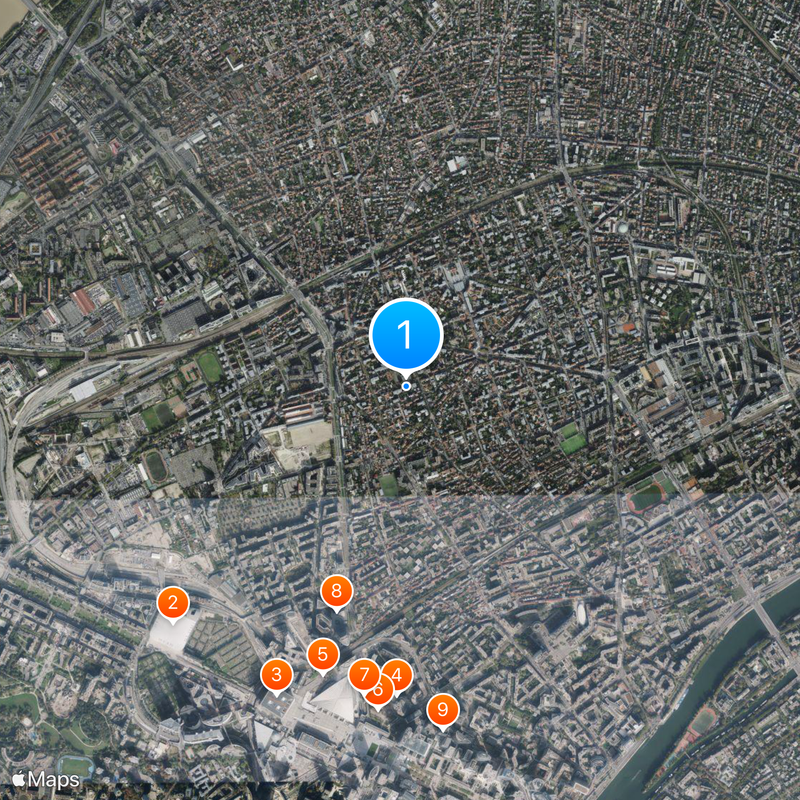
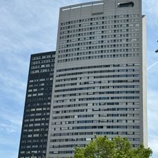
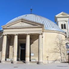
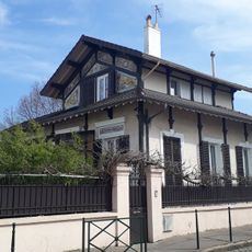
La Garenne-Colombes is an independent suburb in northwestern Paris, situated roughly 10 kilometers from Notre-Dame on gently elevated ground. The area contains residential neighborhoods, parks, and a network of streets connecting it to surrounding communities.

The community separated from its neighboring Colombes in 1910 to become an independent administrative district. This split shaped the development of its own character and separate governance.

The name comes from a former warren where rabbits were once raised, a detail that locals remember and share about their community. This connection to the past shapes how people today think about their suburb and its identity.

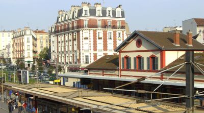
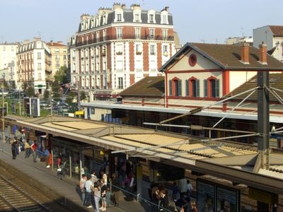
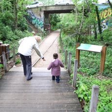
Two train stations provide connections to the Paris-Saint-Lazare rail line, making it easy to reach central Paris quickly. Several parks throughout the area offer places to rest and explore on foot.

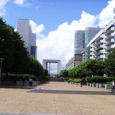
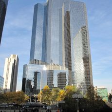
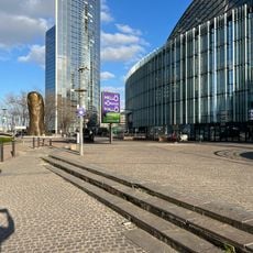
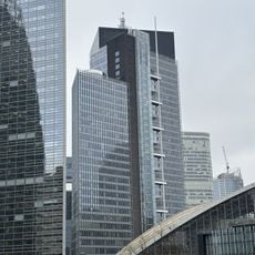
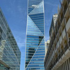
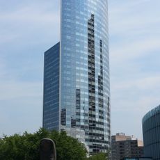
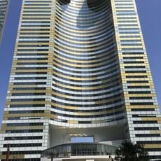
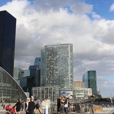
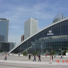
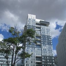
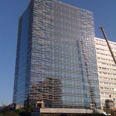
The area is home to around 1,200 businesses, many drawn here by proximity to the major La Defense business district nearby. This economic activity is visible in the flow of commerce and traffic through its streets.

The community of curious travelers

AroundUs brings together thousands of curated places, local tips, and hidden gems, enriched daily by 60,000 contributors worldwide.

Start exploring
Location
Location
Inception
May 2, 1910
Elevation above the sea
41 m
Shares border with
Nanterre, Colombes, Bois-Colombes, Courbevoie
Phone
GPS coordinates
48.90500,2.24361
Latest update
December 14, 2025 18:44
« La Garenne-Colombes - Administrative commune in Hauts-de-Seine, France » is provided by Around Us (aroundus.com). Images and texts are derived from Wikimedia project under a Creative Commons license. You are allowed to copy, distribute, and modify copies of this page, under the conditions set by the license, as long as this note is clearly visible.

Discover hidden gems everywhere you go!

From secret cafés to breathtaking viewpoints, skip the crowded tourist spots and find places that match your style. Our app makes it easy with voice search, smart filtering, route optimization, and insider tips from travelers worldwide. Download now for the complete mobile experience.

Around Us App Screenshot

A unique approach to discovering new places

Le Figaro

All the places worth exploring

France Info

A tailor-made excursion in just a few clicks

20 Minutes

Around Us
Travel Guide & Maps
Download

Send to your phone

QR Code
1

Open the camera app on your mobile.

2

Point at the QR code with your camera. A notification will appear.

3

Tap the notification to open the link.