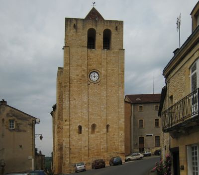
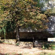
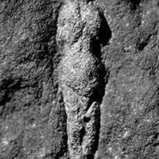
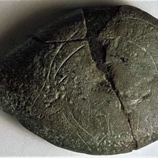
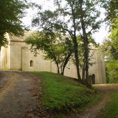
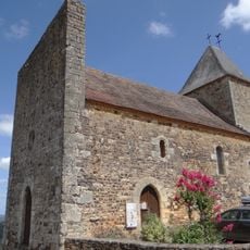
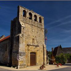
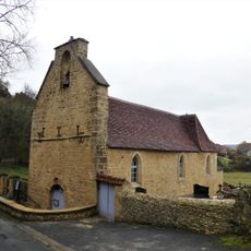
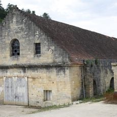
Saint-Cyprien, commune in Dordogne, France
Location: Dordogne
Location: arrondissement of Sarlat-la-Canéda
Elevation above the sea: 154 m
Shares border with: Les Eyzies, Meyrals, Castels et Bézenac, Berbiguières, Coux-et-Bigaroque-Mouzens, Campagne
Phone: +33553292822
Email: mairie@saintcyprien24.fr
Website: https://saintcyprien24.fr
GPS coordinates: 44.86972,1.04361
Latest update: June 8, 2025 12:26
Cro-Magnon site
8.3 km
Font-de-Gaume
7.6 km
National Museum of Prehistory in Les Eyzies-de-Tayac-Sireuil
7.8 km
Abri Pataud
8 km
Château de la Roque
2.2 km
Château de Campagne
7.3 km
Bernifal cave
7.1 km
National Museum of Prehistory
7.8 km
Ros De Saint-Crod
8.7 km
La Mouthe cave
6.4 km
Château de Berbiguières
4 km
Château de Fages
806 m
Château de Tayac
7.8 km
Château de Monsec
2.9 km
Prieuré de Redon-Espic
4.8 km
Église Saint-Cyprien de Saint-Cyprien
44 m
Roc de Marsal
5.9 km
Église Saint-Jean-Baptiste de Campagne
7.3 km
Église Saint-Martin du Vieux-Castel
1.1 km
Église Saint-Pierre d'Audrix
7.7 km
Église Saint-Eutrope de Meyrals
3.7 km
Église Saint-Sulpice de Marnac
3.9 km
Église Notre-Dame-de-l'Assomption de Mouzens
3.6 km
Saint Dionysius Church of Berbiguières
3.9 km
Église Saint-Cyr-et-Sainte-Julitte de Saint-Cirq
8.5 km
Château de Saint-Cyprien
240 m
Forge des Eyzies
7.7 km
Chapelle du château de Monsec
2.9 kmReviews
Visited this place? Tap the stars to rate it and share your experience / photos with the community! Try now! You can cancel it anytime.
Discover hidden gems everywhere you go!
From secret cafés to breathtaking viewpoints, skip the crowded tourist spots and find places that match your style. Our app makes it easy with voice search, smart filtering, route optimization, and insider tips from travelers worldwide. Download now for the complete mobile experience.
A unique approach to discovering new places❞
— Le Figaro
All the places worth exploring❞
— France Info
A tailor-made excursion in just a few clicks❞
— 20 Minutes