Chest opened
+${chestReward.xp} XP
Explorer
NOUVEAU ×${chestReward.collectible.quantity}
tapez pour fermer
Chest locked

Open chests in the app

Around Us is built for your phone — chests unlock when you walk, explore and capture nearby places.

Enable Location

We need your location to show you interesting places around you

Discover nearby places

Find interesting locations and hidden gems around you

Precise directions

Get accurate directions and distances to places

Your location is never shared with other users. It's only used when you tap the location button.

Col de la Croix de Fer

Log in to your account

Start exploring — it's free

Trusted by 72,990 travelers worldwide

Continue with Google
Continue with Apple
or

We will send you a code to connect

By continuing, you accept our Terms and Conditions and our Privacy Policy

Check your inbox

We've sent a pincode in your inbox. Please enter the code below.

Col de la Croix de Fer
Discussion Reviews 3 Photos
13.6k Popularity

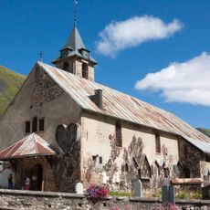
Col de la Croix de Fer, Mountain pass in Saint-Sorlin-d'Arves, France.

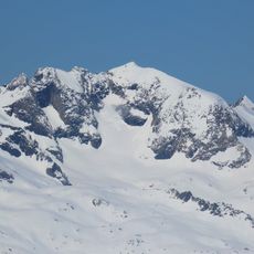
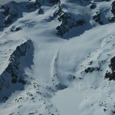
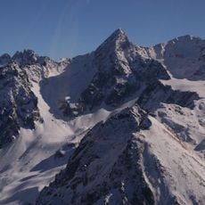
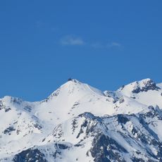
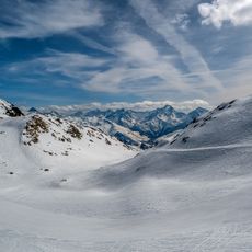
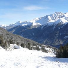
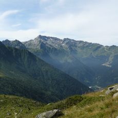
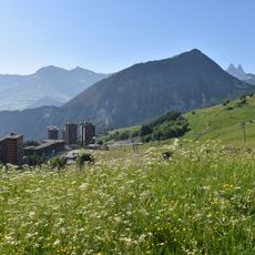
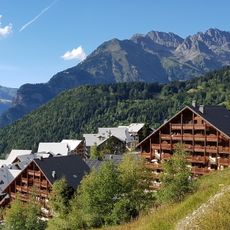
Col de la Croix de Fer is a mountain pass in the French Alps connecting Le Bourg-d'Oisans with Saint-Jean-de-Maurienne at 2,068 meters elevation. The route spans approximately 34 kilometers through alpine terrain, with significant elevation changes along the winding road.

The pass first gained recognition in 1947 when it was officially included in the Tour de France route. Since then it has become an iconic challenge in professional cycling history.

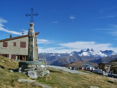
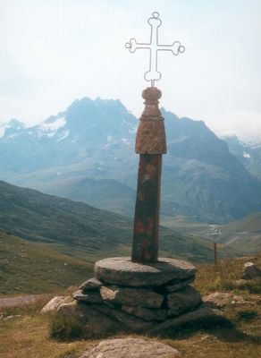
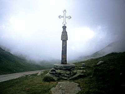
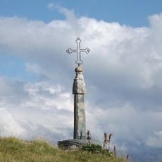
The name refers to the Iron Cross, a metal cross standing at the summit that serves as a landmark for cyclists and hikers crossing this route. The cross has become a symbol of achievement for those who reach the top.

The route can be approached from two directions with roughly equal distance on each side of the pass. Both approaches require stamina due to sustained climbing over long stretches without significant breaks.

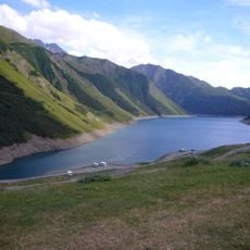
The road passes by multiple hydroelectric dams including Barrage du Verney and Barrage de Grand'maison that dot the landscape. These structures create an unexpected blend of industrial engineering and mountain scenery along the route.

The community of curious travelers

AroundUs brings together thousands of curated places, local tips, and hidden gems, enriched daily by 60,000 contributors worldwide.

Start exploring
Elevation above the sea
2,068 m
GPS coordinates
45.22749,6.20333
Latest update
December 7, 2025 20:25
Reviews
Share your experience

No review yet

Discussions
Start a discussion...

No discussion yet

« Col de la Croix de Fer - Mountain pass in Saint-Sorlin-d'Arves, France » is provided by Around Us (aroundus.com). Images and texts are derived from Wikimedia project under a Creative Commons license. You are allowed to copy, distribute, and modify copies of this page, under the conditions set by the license, as long as this note is clearly visible.

Discover hidden gems everywhere you go!

From secret cafés to breathtaking viewpoints, skip the crowded tourist spots and find places that match your style. Our app makes it easy with voice search, smart filtering, route optimization, and insider tips from travelers worldwide. Download now for the complete mobile experience.

Around Us App Screenshot

A unique approach to discovering new places

Le Figaro

All the places worth exploring

France Info

A tailor-made excursion in just a few clicks

20 Minutes

Around Us
Travel Guide & Maps
Download

Send to your phone

QR Code
1

Open the camera app on your mobile.

2

Point at the QR code with your camera. A notification will appear.

3

Tap the notification to open the link.