
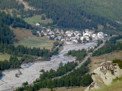
Ristolas, commune in Hautes-Alpes, France
Location: canton of Aiguilles
Location: Hautes-Alpes
Location: arrondissement of Briançon
Location: Abriès-Ristolas
Elevation above the sea: 2,362 m
Shares border with: Abriès, Aiguilles, Molines-en-Queyras, Bobbio Pellice, Pontechianale, Crissolo
GPS coordinates: 44.77361,6.95556
Latest update: June 1, 2025 11:34
Pian del Re
13.6 km
Le Pain de Sucre
9.8 km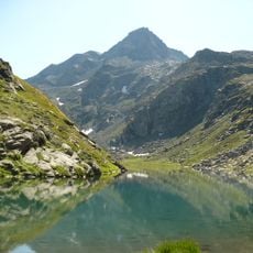
Monte Granero
10.9 km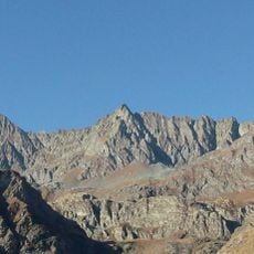
Punta Roma
13.3 km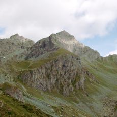
Monte Meidassa
11.2 km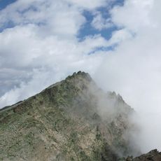
Pointe de Venise
12.2 km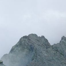
Punta Udine
12.7 km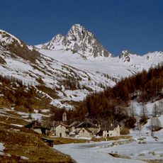
Bric Bucie
7.6 km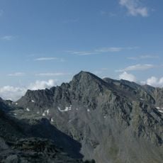
Monte Losetta
13.4 km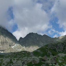
Punta Gastaldi
14.1 km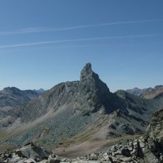
Roc della Niera
13.2 km
Pic de Caramantran
10.6 km
Punta Sea Bianca
13.7 km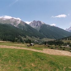
Réserve naturelle nationale de Ristolas - Mont-Viso
9.7 km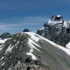
Punta Tre Chiosis
14.5 km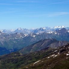
Pic de Château Renard
9.2 km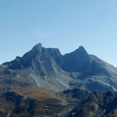
Pic d'Asti
10.2 km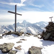
Tête de Pelvas
3.9 km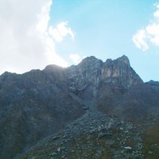
Rocca Bianca
12.1 km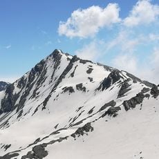
Aiguillette
10.6 km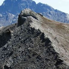
Punta dell'Alp
10.8 km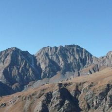
Pointe de Marte
11.4 km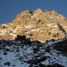
Monte Manzol
9.8 km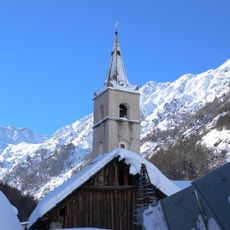
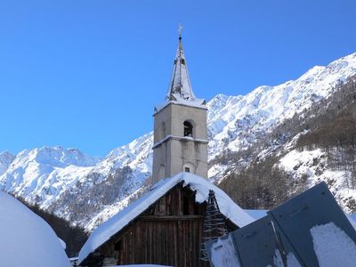
Église Saint-Marcellin de Ristolas
31 m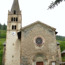
Église Saint-Pierre-Saint-Paul-et-Saint-Antoine d'Abriès
3.2 km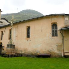
Chapelle des Pénitents d'Abriès
3.2 km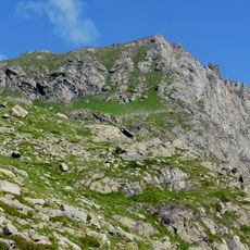
Rocce Alte
12.9 km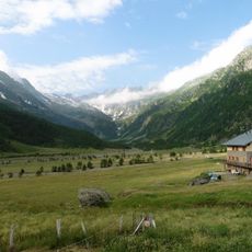
Pra - Barant
8.4 kmReviews
Visited this place? Tap the stars to rate it and share your experience / photos with the community! Try now! You can cancel it anytime.
Discover hidden gems everywhere you go!
From secret cafés to breathtaking viewpoints, skip the crowded tourist spots and find places that match your style. Our app makes it easy with voice search, smart filtering, route optimization, and insider tips from travelers worldwide. Download now for the complete mobile experience.

A unique approach to discovering new places❞
— Le Figaro
All the places worth exploring❞
— France Info
A tailor-made excursion in just a few clicks❞
— 20 Minutes