
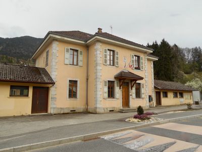
Aviernoz, former commune in Haute-Savoie, France
Location: Canton of Thorens-Glières
Location: Haute-Savoie
Location: arrondissement of Annecy
Elevation above the sea: 980 m
Shares border with: Dingy-Saint-Clair, Les Ollières, Thorens-Glières, Villaz
GPS coordinates: 45.97806,6.22306
Latest update: May 30, 2025 14:54
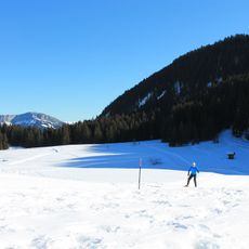
Glières Plateau
8.7 km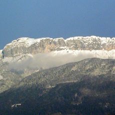
Le Parmelan
3.5 km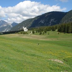
Monument national à la Résistance du plateau des Glières
8.7 km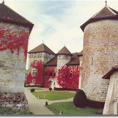
Château de Thorens
3.1 km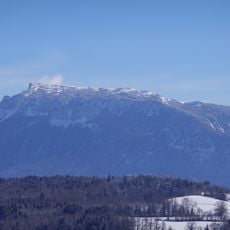
Montagne de Sous-Dine
8.4 km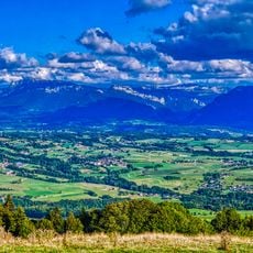
Col d'Évires
7.9 km
Défilé de Dingy
8.2 km
Chapel Notre-Dame-de-Pitié
7.8 km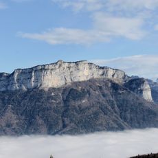
Mont Teret
7.5 km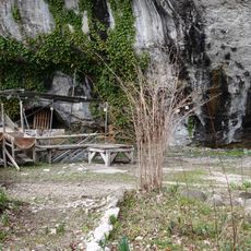
Vieille église
9.7 km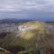
Pointe de la Queblette
9.7 km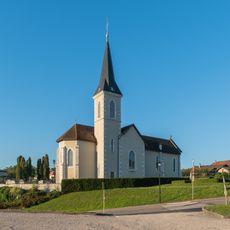
Église Saint-Jean-Baptiste de Charvonnex
5 km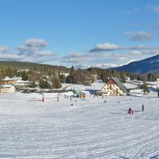
Montagne de Lachat
5.1 km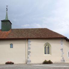
Église Saint-Théodule de Villy-le-Pelloux
7.4 km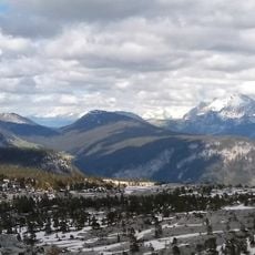
Montagne Des Frêtes
8 km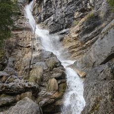
Cascade de Morette
9.9 km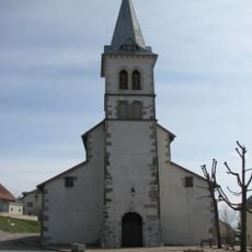
Église Saint-Euchère et Saint-Just de Groisy
6 km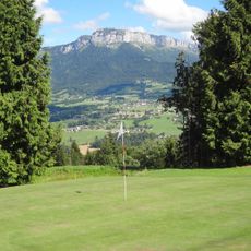
Golf du Belvédère
6 km
Home of the Plateau of Glières
8.2 km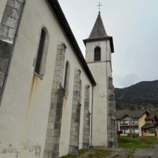
Église Saint-Maurice d'Aviernoz
18 m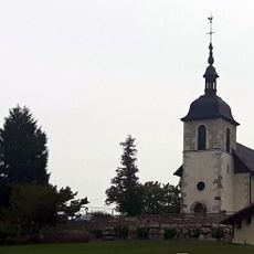
Église Saint-Martin de Saint-Martin-Bellevue
6 km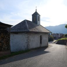
Chapelle de Charvex
9.1 km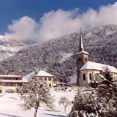
Église Saint-Eugène de Nâves-Parmelan
5.5 km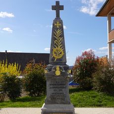
War memorial of Villaz
4 km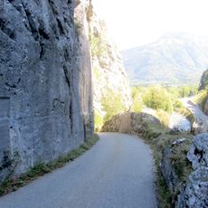
Voie romaine et inscription commémorative
8.2 km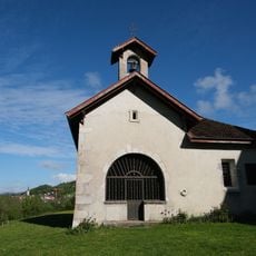
Chapelle Saint-François de Sales
3.3 km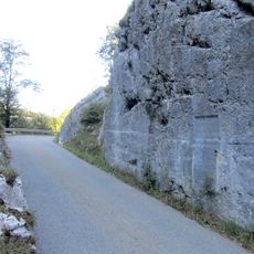
Voie romaine et inscription commémorative
8.2 km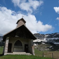
Chapelle Notre-Dame-des-Neiges de Plateau des Glières
8.2 kmReviews
Visited this place? Tap the stars to rate it and share your experience / photos with the community! Try now! You can cancel it anytime.
Discover hidden gems everywhere you go!
From secret cafés to breathtaking viewpoints, skip the crowded tourist spots and find places that match your style. Our app makes it easy with voice search, smart filtering, route optimization, and insider tips from travelers worldwide. Download now for the complete mobile experience.

A unique approach to discovering new places❞
— Le Figaro
All the places worth exploring❞
— France Info
A tailor-made excursion in just a few clicks❞
— 20 Minutes