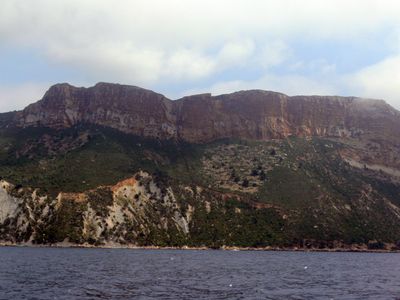
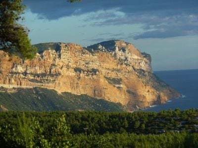
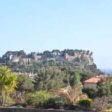
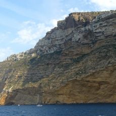
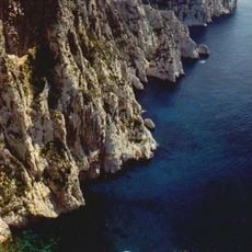
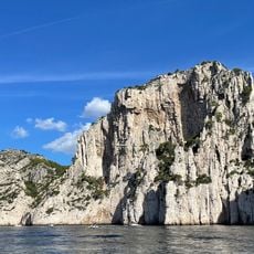
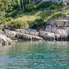
Cap Canaille, Maritime cliffs between La Ciotat and Cassis, France
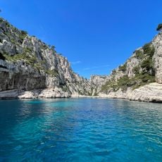
Cap Canaille is a coastal cliff between La Ciotat and Cassis with distinctive reddish-colored rock formations that rise high above the sea. The rock face shows layers of sandstone, limestone, and a stone-and-pebble mixture formed through natural processes.
Cap Canaille formed over millions of years as sediment accumulated on the seafloor, then gradually rose to create the cliff we see today. This geological process shaped the rock layers visible in the cliff face.
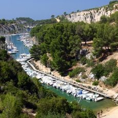
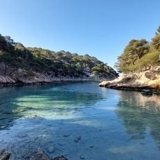
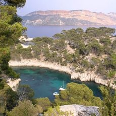
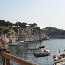
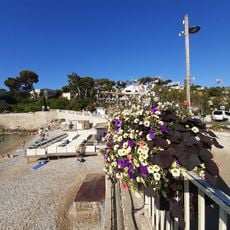
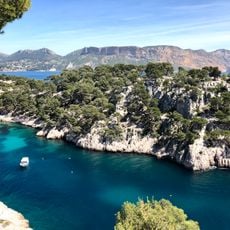
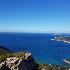
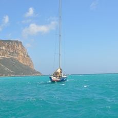
The Route des Crêtes connects two traditional fishing villages and offers stopping points where travelers can pause to look out at the landscape. These spots reveal how the road has shaped local life for generations, linking communities together.
The Route des Crêtes road runs across the ridge with several parking areas offering views and stopping points. From these spots, visitors can walk or take photos, but should stick to marked paths and be careful near cliff edges.
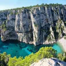
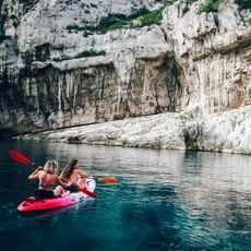
The area is home to about 900 plant species, some of which grow nowhere else in the world. The Provence Sandwort is one of these rare plants that visitors can spot in its natural habitat here.
The community of curious travelers
AroundUs brings together thousands of curated places, local tips, and hidden gems, enriched daily by 60,000 contributors worldwide.