Cap Ferret, Coastal headland in Lège-Cap-Ferret, France
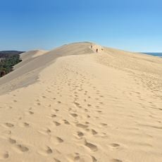
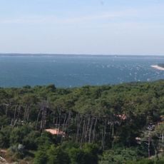
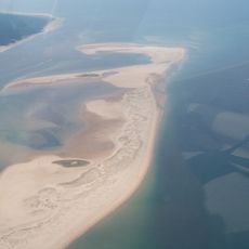
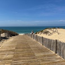
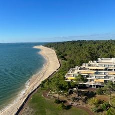
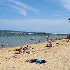
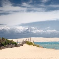
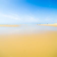
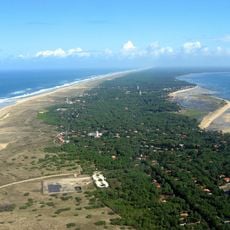
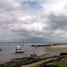
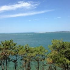
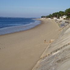
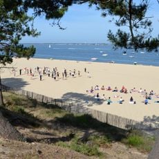
Cap Ferret is a narrow peninsula on the French Atlantic coast in the Gironde département, stretching between the open ocean and the sheltered waters of Arcachon Bay. The sand formation shifts its contour with tides and wind, while pine forests inland provide dense greenery.
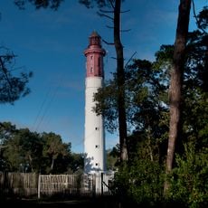
In the 19th century, fishermen from La Teste and Gujan-Mestras landed their pinasses at the point, sheltered from westerly winds and close to the fish entering and leaving Arcachon Bay. By 1857 about a dozen makeshift cabins stood on the beaches near the newly built lighthouse, forming the "quartier des pêcheurs". The point itself was only occupied temporarily.
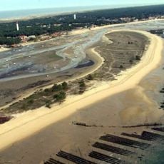
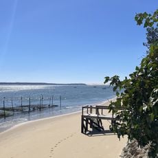
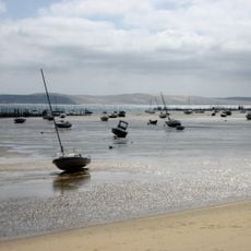
The name refers to iron-rich sediment in the sand that gave the area its distinctive color centuries ago. Today you can see oyster beds all along the bay side, where local growers sort their shells and visitors sample fresh seafood right at the water's edge.
You can reach the peninsula by road from the north or by passenger ferry from Arcachon, which crosses several times daily. Once there, a narrow-gauge train runs along the coast and bicycle rentals help explore the sprawling area.
The Mimbeau, a sand spit partly covered with marram grass, tamarisk and small pines, formed around 1880 and encloses a lagoon just before the cape's tip. It takes its name from Jean Dubos, a sailor from La Teste-de-Buch who kept a cabin there and was lost at sea in 1831. Sand stopped feeding it after coastal defences were built from 1950.
The community of curious travelers
AroundUs brings together thousands of curated places, local tips, and hidden gems, enriched daily by 94,759 contributors worldwide.