
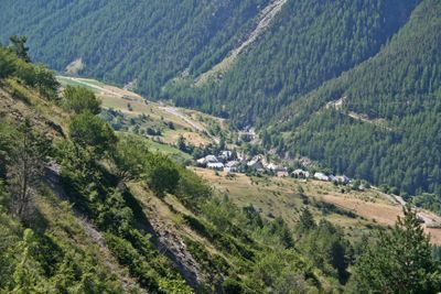
Meyronnes, former commune in Alpes-de-Haute-Provence, France
Location: Alpes-de-Haute-Provence
Location: arrondissement of Barcelonnette
Elevation above the sea: 2,298 m
Shares border with: La Condamine-Châtelard, Jausiers, Larche, Saint-Paul-sur-Ubaye, Acceglio, Val-d'Oronaye
Website: https://valdoronaye.fr
GPS coordinates: 44.47639,6.79917
Latest update: May 28, 2025 00:17
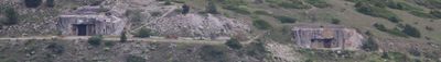
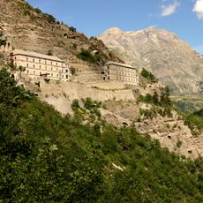
Fort de Tournoux
3.7 km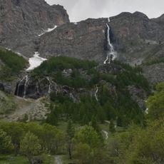
Cascate di Stroppia
8.5 km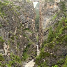
Pont du Châtelet
6.8 km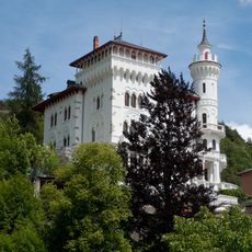
Château des Magnans
7.9 km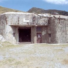
Ouvrage Saint Ours Haut
1.4 km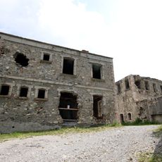
Ouvrage Roche-la-Croix
1.3 km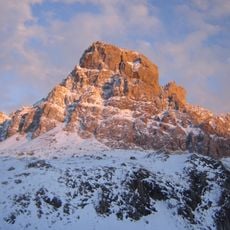
Brec de Chambeyron
7.2 km
Bivacco Barenghi
7.9 km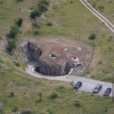
Ouvrage Saint Ours Bas
951 m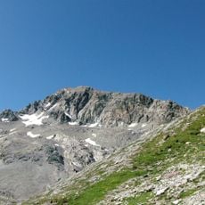
Tête de Sautron
6.3 km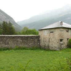
Redoute de Berwick
3.9 km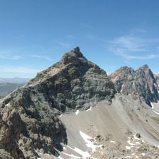
Rocca Blancia
5.8 km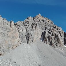
Buc de Nubiera
6.2 km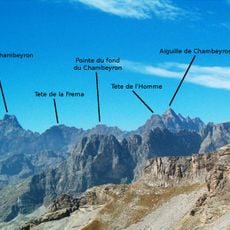
Tête de la Frema
8.8 km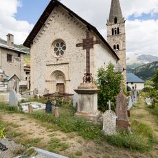
Église Saints-Pierre-et-Paul de Saint-Paul-sur-Ubaye
5.7 km
Ouvrage Fontvive Nord-ouest
607 m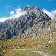
Rocca Bianca
8 km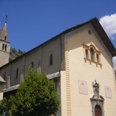
Église Saint-Nicolas-de-Myre de Jausiers
8.2 km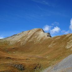
Mont Soubeyran
8.6 km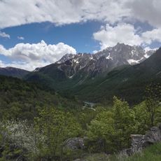
Monte Vallonasso
6.2 km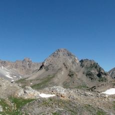
Monte Baueria
7 km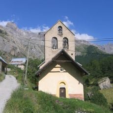
Église Saint-Jean-Baptiste de Fouillouse
5.5 km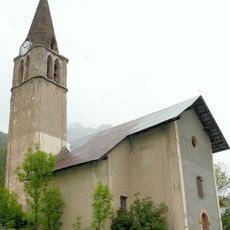
Église de la Transfiguration de Grande-Serenne
6.3 km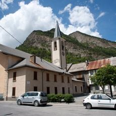
Église Sainte-Catherine de La Condamine-Châtelard
4.8 km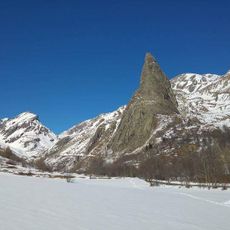
Sorgenti del Maira, Bosco di Saretto, Rocca Provenzale
9.5 km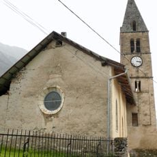
Église Saint-Thomas de Tournoux
4.7 km
Barrias Coupa
8.4 km
Chapelle Sainte-Marie-Madeleine de Maison-Méane
6.4 kmReviews
Visited this place? Tap the stars to rate it and share your experience / photos with the community! Try now! You can cancel it anytime.
Discover hidden gems everywhere you go!
From secret cafés to breathtaking viewpoints, skip the crowded tourist spots and find places that match your style. Our app makes it easy with voice search, smart filtering, route optimization, and insider tips from travelers worldwide. Download now for the complete mobile experience.

A unique approach to discovering new places❞
— Le Figaro
All the places worth exploring❞
— France Info
A tailor-made excursion in just a few clicks❞
— 20 Minutes