Montagne Noire, Mountain range and natural region in Occitania, France
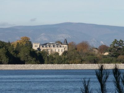
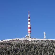
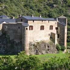
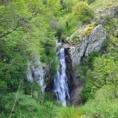
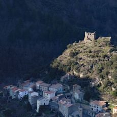
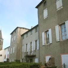
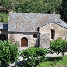
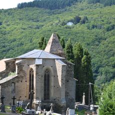
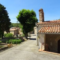
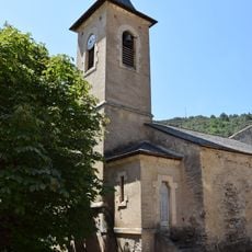
Montagne Noire is a mountain range and natural region in Occitania, extending across multiple departments with diverse landscapes and ecosystems. The terrain features forested slopes, valleys, and waterways that shape its physical character.
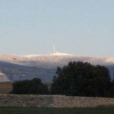
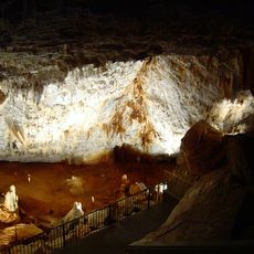
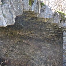
The mountain range formed through processes reaching back to ancient geological periods, leaving behind layers of different rock types. This deep history remains visible today in the diversity of the landscape.
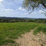
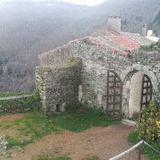
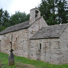
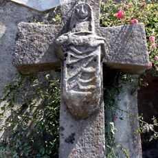
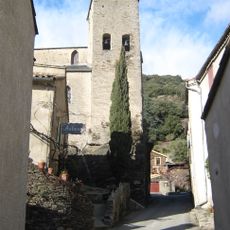
The densely forested slopes have shaped life for communities living in the valleys for generations. The woodland defines daily rhythms, offering pathways, water sources, and seasonal patterns that connect people to the land.
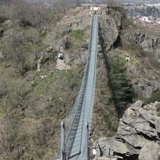
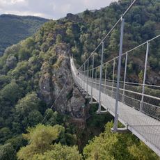
The area is best explored on foot with trails running through the forests and valleys. Sturdy shoes and a map are helpful for navigating the terrain and making the most of your visit.
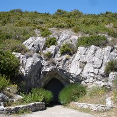
Near Cabrières there is a geological reference point used worldwide for studying Earth's history. This location serves as a scientific standard that researchers recognize, yet visitors often overlook its importance.
Location: Tarn
Location: Aude
Elevation above the sea: 1,211 m
GPS coordinates: 43.42444,2.46278
Latest update: December 14, 2025 20:26
France has entire territories that remain outside the usual tourist circuits. This collection brings together natural regions where life follows its own rhythm, away from the bustle of mainstream destinations. Here you find forested mountains like Morvan and the Vosges, volcanic plateaus in Cantal...
Pic de Nore
11 m
Gouffre de Cabrespine
7.3 km
Footbridge of Mazamet
9.1 km
Passerelle de Mazamet
9.1 km
Limousis cave
9.9 km
Pic de Nore transmitter
57 m
Château d'Hautpoul
8.9 km
Château de Soult-Berg
5.9 km
Château de Sauveterre
9.2 km
Glacière de Pradelles-Cabardès
2.6 km
Château de Saint-Amans-Valtoret
6.7 km
Château de Roquefère, Roquefère
8.9 km
Église Saint-Sernin de Cubserviès
7.3 km
Dolmen de la Jagantière
9.6 km
Cubserviès
8 km
Château de Citou
8 km
Château de Gos
3.9 km
Chapelle Saint-Jean de Citou
8.4 km
Église Saint-Jean-Baptiste de Pradelles-Cabardès
2.2 km
Église Saint-André de Roquefère
7.8 km
Croix du lavoir
2.7 km
Église Notre-Dame de Saint-Amans-Soult
6.2 km
Chapelle funéraire de la famille Soult
6.1 km
Mémorial des Aviateurs
5.1 km
Montagne Noire
60 m
Église Sainte-Foy de Roquefère
8.9 km
Église Saint-Saturnin de Trassanel
9 km
Église Saint-Jean-Baptiste de Citou
8.2 kmVisited this place? Tap the stars to rate it and share your experience / photos with the community! Try now! You can cancel it anytime.
Discover hidden gems everywhere you go!
From secret cafés to breathtaking viewpoints, skip the crowded tourist spots and find places that match your style. Our app makes it easy with voice search, smart filtering, route optimization, and insider tips from travelers worldwide. Download now for the complete mobile experience.
A unique approach to discovering new places❞
— Le Figaro
All the places worth exploring❞
— France Info
A tailor-made excursion in just a few clicks❞
— 20 Minutes