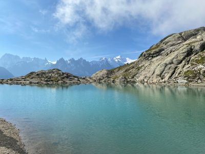
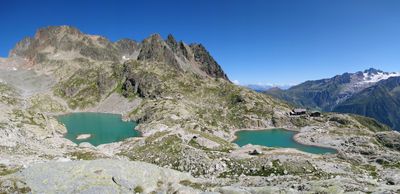
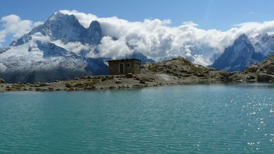
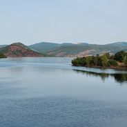
Lac Blanc, Glacial lake in Haute-Savoie, France.
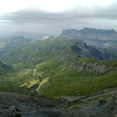
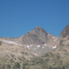
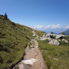
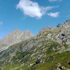
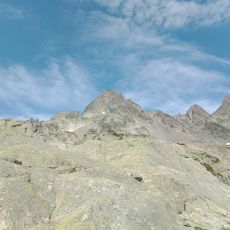
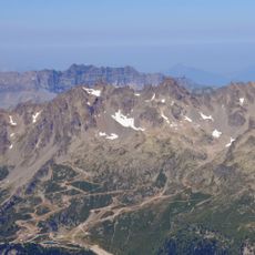
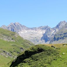
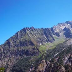
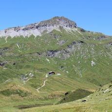
Lac Blanc is a glacial lake high in the Alps above Chamonix, nestled within the Mont Blanc massif. The water mirrors the surrounding peaks and sits amid steep slopes and rocky terrain.
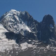
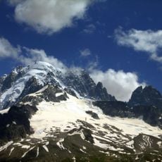
The lake formed during the last ice age when glaciers carved depressions into the mountain terrain. Glacial movement shaped both this body of water and the surrounding landscape of the massif.
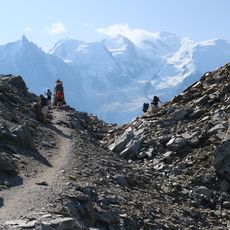
The lake draws photographers and nature lovers who come to capture the landscape through different seasons and weather conditions. People gather here to record the changing light and reflections on the water.
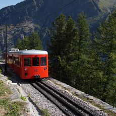
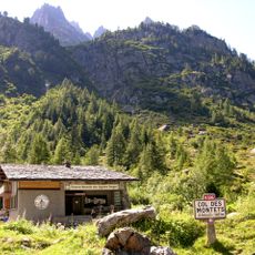
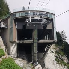
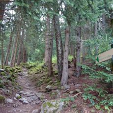
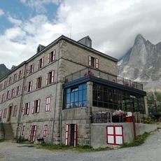
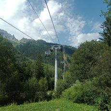
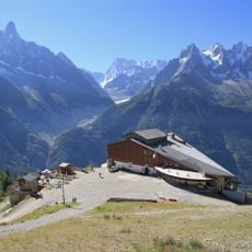
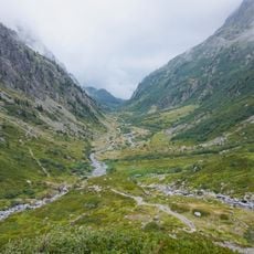
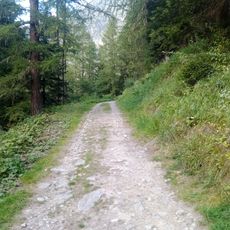
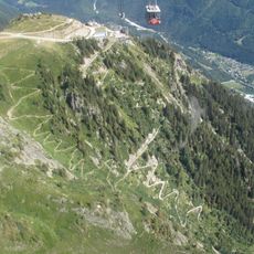
Reaching the lake requires several hours of hiking from either Col des Montets or Argentière village, though taking a cable car can shorten the journey. Sturdy footwear and preparation for changing weather conditions are essential at this elevation.
Swimming and washing dishes are prohibited in the lake to preserve water quality and protect the fragile alpine ecosystem. This protection keeps the water exceptionally clear and pristine.
Location: Chamonix-Mont-Blanc
Elevation above the sea: 2,351 m
Length: 67 m
Width: 41 m
Address: Lac Blanc, 74400 Chamonix, France
GPS coordinates: 45.98222,6.88944
Latest update: December 6, 2025 17:41
Occitanie hosts a wide variety of lakes spread between the Pyrenees and the Massif Central. Natural lakes mainly occupy high-altitude zones in the Pyrenees, where glacial erosion has carved out cirques and basins now filled with water. Lake Oô, located at 4,950 feet (1,507 meters) altitude, receives...
Chemin de fer du Montenvers
6.7 km
Mer de Glace ice cave
6.5 km
Téléphérique du Brévent
5.9 km
Aiguilles Rouges National Nature Reserve
1.5 km
Télécabine de la Mer de Glace
6 km
Chemin du Montenvers
5.6 km
Passy National Nature Reserve
6.5 km
Aiguille du Belvédère
1.3 km
Grand hôtel du Montenvers
5.8 km
Glaciorium
5.8 km
Col du Brévent
5.8 km
Grand Balcon Nord
3.7 km
Télécabine de la Flégère
4.5 km
Téléphérique de la Flégère
4.5 km
Glacier du Nant Blanc
6.5 km
Réserve naturelle nationale du vallon de Bérard
2.2 km
Viaduc du Montenvers
5.7 km
Aiguille de la Floria
1.8 km
Eau de Bérard
4.8 km
Névé de l'Index
1.9 km
Chemin Sortie Vallée Blanche
5.4 km
Dards Glacier
1.3 km
Aiguille à Bochard
5.2 km
Pendant Glacier
6.4 km
Glacier de Lognan
6.1 km
Sentier des Gardes
6.2 km
Via Ferrata des Evettes
2.5 km
Tête de Moëde
6.4 kmVisited this place? Tap the stars to rate it and share your experience / photos with the community! Try now! You can cancel it anytime.
Discover hidden gems everywhere you go!
From secret cafés to breathtaking viewpoints, skip the crowded tourist spots and find places that match your style. Our app makes it easy with voice search, smart filtering, route optimization, and insider tips from travelers worldwide. Download now for the complete mobile experience.
A unique approach to discovering new places❞
— Le Figaro
All the places worth exploring❞
— France Info
A tailor-made excursion in just a few clicks❞
— 20 Minutes