Enable Location

We need your location to show you interesting places around you

Discover nearby places

Find interesting locations and hidden gems around you

Precise directions

Get accurate directions and distances to places

Your location is never shared with other users. It's only used when you tap the location button.

Lac Sainte-Anne

Log in to your account

Join the adventure

Create your free account and start exploring (like 60k+ others)

We will send you a code to connect

or
Continue with Google
Continue with Apple
By continuing, you accept our Terms and Conditions and our Privacy Policy

Check your inbox

We've sent a pincode in your inbox. Please enter the code below.

Lac Sainte-Anne

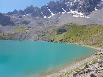
Lac Sainte-Anne, Alpine lake at Ceillac, France.

Description

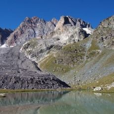
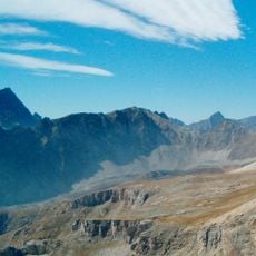
Lac Sainte-Anne is an alpine lake in the Queyras range situated at roughly 2400 meters elevation, spanning about 9 hectares across the mountainside. A natural moraine formation acts as a dam holding back the water, which reaches depths of approximately 22 meters.

History

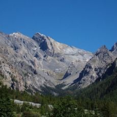
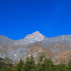
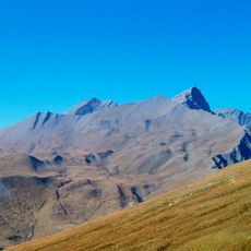
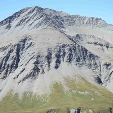
The lake formed through glacial processes during the ice age when moving ice shaped the mountain landscape and left deposits of rock. Later, military forces used elevated positions above it to observe movement through the alpine passes.

Culture

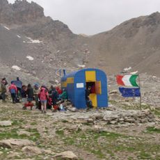
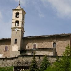
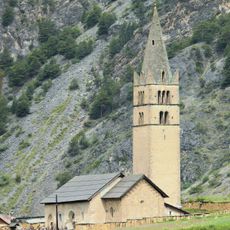
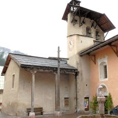
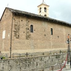
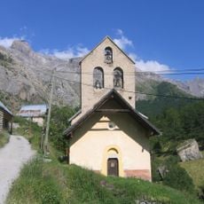
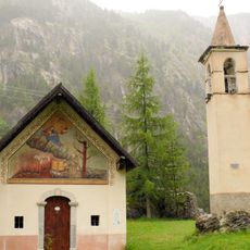
The chapel by the water holds local significance as a gathering place where nearby communities mark important dates together. This tradition shows how the lake remains central to the social life of the mountain villages.

Practical

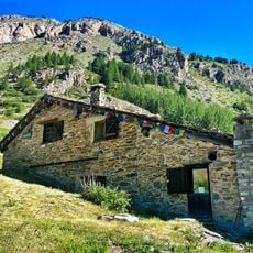
The marked trail from Chaurionde gains elevation steadily over a climb lasting around two hours through alpine terrain. Sturdy hiking boots and layers are essential, as weather at this altitude can shift rapidly without warning.

Did you know?

The water shifts between shades of turquoise and deeper blues as daylight moves across the sky, creating a changing display throughout the day. This color play results from how light interacts with the glacial sediment suspended in the water.

Location
Elevation above the sea
2,414 m
Address
Lac Sainte-Anne, 05600 Ceillac, France
GPS coordinates
44.61690,6.81167
Latest update
December 6, 2025 17:45

AroundUs brings together thousands of curated places, local tips, and hidden gems, enriched daily by 60,000 contributors worldwide. Discover all places nearby (Ceillac).

The large lakes of Provence-Alpes-Côte d'Azur

The Provence-Alpes-Côte d'Azur region has many lakes spreading from the Southern Alps to the Verdon gorge. Serre-Ponçon Lake covers about 28 km² and features sandy beaches and small coves tucked between forests. Sainte-Croix Lake is France's third-largest lake. High-altitude lakes like Allos and...

« Lac Sainte-Anne - Alpine lake at Ceillac, France » is provided by Around Us (aroundus.com). Images and texts are derived from Wikimedia project under a Creative Commons license. You are allowed to copy, distribute, and modify copies of this page, under the conditions set by the license, as long as this note is clearly visible.

Discover hidden gems everywhere you go!

From secret cafés to breathtaking viewpoints, skip the crowded tourist spots and find places that match your style. Our app makes it easy with voice search, smart filtering, route optimization, and insider tips from travelers worldwide. Download now for the complete mobile experience.

Around Us App Screenshot

A unique approach to discovering new places

Le Figaro

All the places worth exploring

France Info

A tailor-made excursion in just a few clicks

20 Minutes

Around Us
Travel Guide & Maps
Download

Send to your phone

QR Code
1

Open the camera app on your mobile.

2

Point at the QR code with your camera. A notification will appear.

3

Tap the notification to open the link.