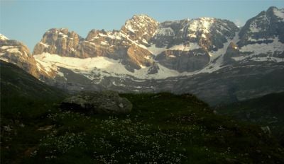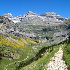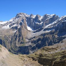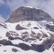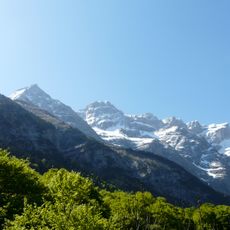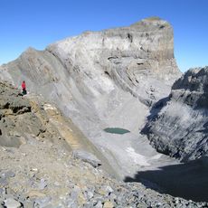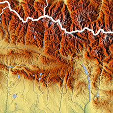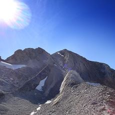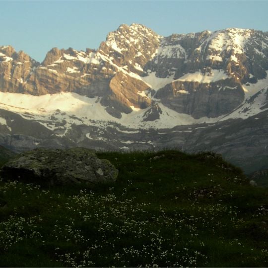
Cirque d'Estaubé, Natural glacial amphitheater in Hautes-Pyrénées, France.
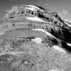
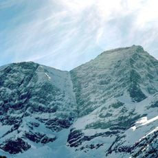
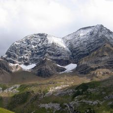
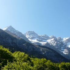
Cirque d'Estaubé is a natural cirque in the central Pyrenees, within the Hautes-Pyrénées department, whose ridgeline partly forms the Franco-Spanish border. It encloses the small Plã d'Ailhet plain at the bottom of the Estaubé valley, between the Mounherran (2,783 m) to the east and the Piméné (2,801 m) and Pic Rouge de Pailla (2,780 m) to the west. The headwall is a steep, layered wall of grey and brown rock broken by vertical bands and snow-filled gullies. The Gave d'Estaubé flows north from the cirque.
This mountain cirque formed through glacial erosion over millions of years in the Pyrenees. The process created the steep walls and deep valleys that shape the landscape today.
The cirque's crest line partly defines the Franco-Spanish border, and the Brèche de Tuquerouye (2,666 m) is the pass to the Marboré valley, where a small CAF hut stands. The Hourquette d'Alans (2,430 m) links it to the neighbouring Cirque de Gavarnie, 4 km west.
A marked hiking trail leads from the dam parking area into the basin with moderate uphill stretches. The walk takes roughly three hours for the round trip and requires sturdy footwear on rocky terrain.
The Gave d'Estaubé leaves the cirque flowing north and is held back by the Barrage des Gloriettes at 1,668 m before joining the main Héas valley. The cirque lies 4 km east of the Cirque de Gavarnie, reached over the Hourquette d'Alans at 2,430 m.
The community of curious travelers
AroundUs brings together thousands of curated places, local tips, and hidden gems, enriched daily by 94,658 contributors worldwide.