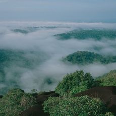
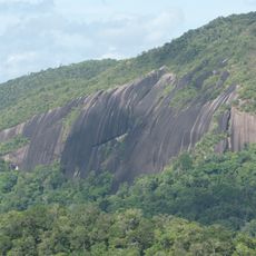
Pic du Croissant, Mountain summit in French Guiana, France.
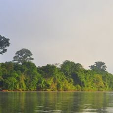
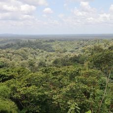
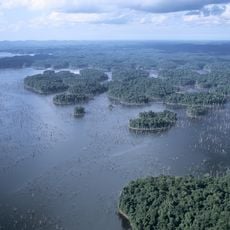
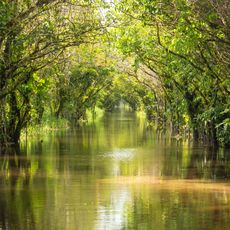
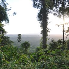
Pic du Croissant is a summit reaching 166 meters above sea level in the tropical rainforest region of French Guiana in South America. The peak features a distinctive crescent-shaped profile that stands out against the surrounding dense vegetation and coastal lowlands.
French explorers mapped this peak during the 18th century as part of their systematic documentation of South American colonial territories. Surveying such natural landmarks proved essential for navigation and administration of the newly explored regions.
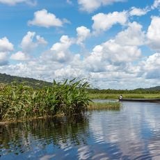
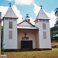
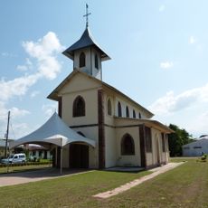
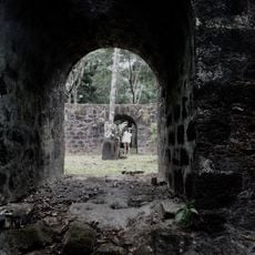
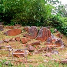
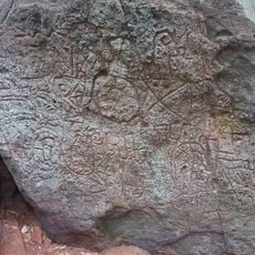
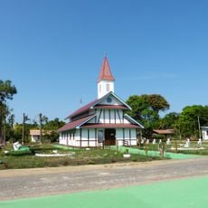
Local communities use this peak as a landmark for navigation and land management within their traditional territories. The summit serves as a natural reference point woven into local stories and practical knowledge passed down through generations.
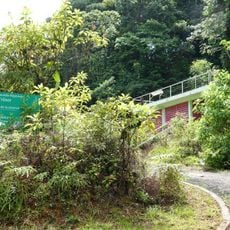
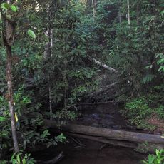
Hikers can reach the summit via marked trails from surrounding villages, with the best conditions occurring between June and September. Trail surfaces can be slippery and overgrown, so sturdy footwear and sure footing are important for the climb.
The summit stands out prominently in the flat coastal landscape, rising sharply from dense forest cover that characterizes the region. Locals have long relied on this visible elevation for orientation in a landscape otherwise dominated by low vegetation.
The community of curious travelers
AroundUs brings together thousands of curated places, local tips, and hidden gems, enriched daily by 60,000 contributors worldwide.