Rocher du Grand Renaud, Mountain peak in Belledonne Range, France
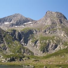
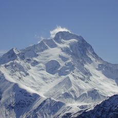
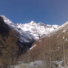
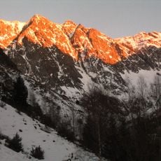
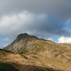
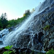
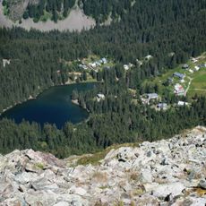
Rocher du Grand Renaud is a mountain peak in the Belledonne Range standing at about 2,323 meters and situated between the municipalities of La Ferrière and Theys in Isère. The terrain features rocky formations that drop steeply to lower elevations around it.
The peak was marked on French topographic maps starting in the 19th century and served as a key reference point for shepherds and mountaineers. This historical mapping reflects the long use of the mountain by local inhabitants.
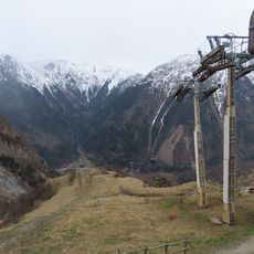
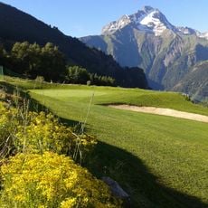
The peak sits along a traditional hiking route that has long connected alpine herders and walkers, shaping how people experience the mountain landscape.
The climb from Col du Barioz takes roughly three hours with significant elevation gain over rocky ground. Good footwear and adequate time are needed to safely manage the ascent.
Specialized plant species adapted to harsh alpine conditions thrive in the peat bogs surrounding the summit. These wetland habitats are protected and form an important part of the local alpine ecosystem.
The community of curious travelers
AroundUs brings together thousands of curated places, local tips, and hidden gems, enriched daily by 60,000 contributors worldwide.