
Ozurgeti, human settlement
Location: Ozurgeti Municipality
Elevation above the sea: 80 m
GPS coordinates: 41.92694,42.00056
Latest update: April 28, 2025 11:05
Kolkheti National Park
32.4 km
Phasis
37.1 km
Batumi Botanical Garden
35 km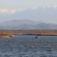
Lake Paliastomi
31.3 km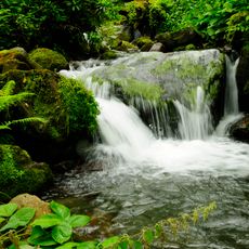
Mtirala National Park
29.4 km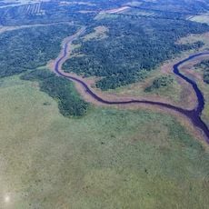
Colchic Rainforests and Wetlands
25.4 km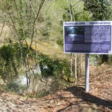
Kintrishi Strict Nature Reserve
20 km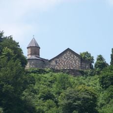
Shemokmedi Monastery
5.6 km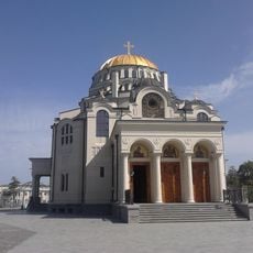
Poti Cathedral
36.1 km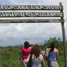
Kobuleti Strict Nature Reserve
17.9 km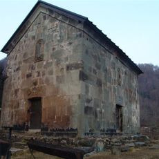
Achi Monastery
8.9 km
Askana Fortress
14.4 km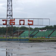
Evgrapi Shevardnadze Stadium
19.1 km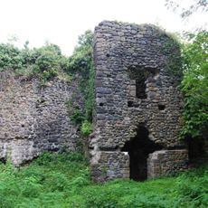
Likhauri Fortress
6.1 km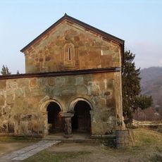
Likhauri church
4.9 km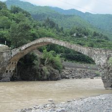
Dandalo Bridge
32.4 km
Katsoburi Managed Reserve
27.6 km
Ozurgeti History Museum
615 m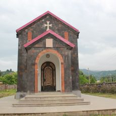
The Church of the Three Bishops of Kobuleti
25.4 km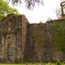
Aketi Church of the Saviour
10.1 km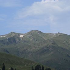
Sakornia
26 km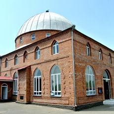
Kvirike mosque
22.4 km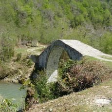
Varjanauli Bridge
15.8 km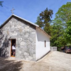
St. Georges Church Kvirike
22.4 km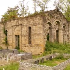
Aketi Church of Saint George
11.8 km
Кобалаури күпере
20.3 km
Shemokmedi Cathedral
5.6 km
Pitshora bog
32.4 kmVisited this place? Tap the stars to rate it and share your experience / photos with the community! Try now! You can cancel it anytime.
Discover hidden gems everywhere you go!
From secret cafés to breathtaking viewpoints, skip the crowded tourist spots and find places that match your style. Our app makes it easy with voice search, smart filtering, route optimization, and insider tips from travelers worldwide. Download now for the complete mobile experience.

A unique approach to discovering new places❞
— Le Figaro
All the places worth exploring❞
— France Info
A tailor-made excursion in just a few clicks❞
— 20 Minutes