Log in to your account

AroundUs is a community-driven map of interesting places, built by curious explorers like you. It grows with every review, story, and photo you share.
Connect to save your favorite spots, contribute locations, and create personalized routes.
Continue with Google
Continue with Apple
Continue with X
Continue with Facebook
Continue with email
By continuing, you accept our Terms and Conditions and our Privacy Policy
Create an account
Add to collection
Map
Suggest a change
Share

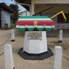
East Berbice-Corentyne, Administrative region in eastern Guyana

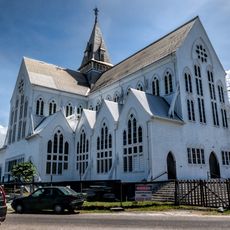
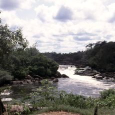
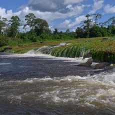
East Berbice-Corentyne is an administrative region in eastern Guyana that runs along the Atlantic Ocean and borders Suriname via the Corentyne River. The territory spans diverse landscapes from coastal settlements to inland areas where rivers shape the terrain and influence how people move and settle.

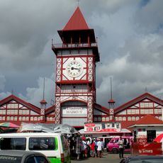
The region took its present form during administrative reforms in the 1980s that reshaped its structure and boundaries. New Amsterdam became the administrative center and serves as the seat of local governance.

Rice farming, sugar production, and fishing shape daily life across the coastal settlements and define how communities use the land. These industries are woven into the landscape, visible in the fields and fishing operations that anchor local routines.

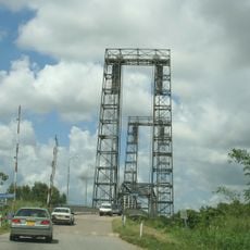
Regular ferry services connect the regional port of Corriverton across the Corentyne River, linking the region to neighboring areas and facilitating cross-border movement. Travelers should check water conditions and service schedules since river travel depends on weather and seasonal changes.

The territory contains the New River Triangle, a disputed area located in the southern section between Guyana and Suriname. This zone remains subject to international discussions due to unresolved boundary questions.

Location: Guyana

Capital city: New Amsterdam

Shares border with: Upper Demerara-Berbice, Upper Takutu-Upper Essequibo, Potaro-Siparuni, Mahaica-Berbice, Nickerie District, Sipaliwini District, Pará

GPS coordinates: 4.10794,-58.18337

Latest update: December 7, 2025 20:26

Photos
Reviews

Visited this place? Tap the stars to rate it and share your experience / photos with the community! Try now! You can cancel it anytime.

« East Berbice-Corentyne - Administrative region in eastern Guyana » is provided by Around Us (aroundus.com). Images and texts are derived from Wikimedia project under a Creative Commons license. You are allowed to copy, distribute, and modify copies of this page, under the conditions set by the license, as long as this note is clearly visible.

Discover hidden gems everywhere you go!

From secret cafés to breathtaking viewpoints, skip the crowded tourist spots and find places that match your style. Our app makes it easy with voice search, smart filtering, route optimization, and insider tips from travelers worldwide. Download now for the complete mobile experience.

Around Us App Screenshot

A unique approach to discovering new places

Le Figaro

All the places worth exploring

France Info

A tailor-made excursion in just a few clicks

20 Minutes