Kobija, قمة جبل في كرواتيا
Location: Dubrovnik-Neretva County
GPS coordinates: 42.49806,18.40194
Latest update: October 16, 2025 12:35
Savina monastery
13.5 km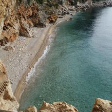
Pasjača
7.1 km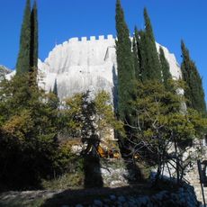
Sokol Fortress
4.9 km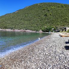
Žanjice
18.3 km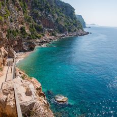
Pasjača
6.8 km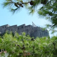
Kanli Kula
12.3 km
Snježnica i Konavosko polje
9.4 km
Zubački kabao
14.1 km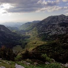
Velika Jastrebica
16.1 km
Konavoske stijene
5.7 km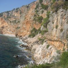
Konavoske stijene
5.2 km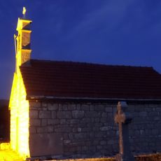
Saint George monastery, Zubci
14.5 km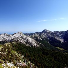
Parco nazionale di Orjen
13.2 km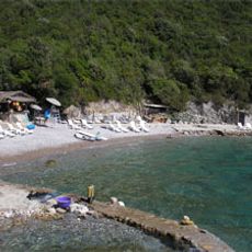
Uvala Dobreč
15.9 km
Church of St. Jerome in Herceg Novi
12.3 km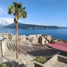
Kanli Kula
12.3 km
Phare du cap Oštra
14.6 km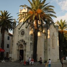
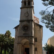
Saint Michael the Archangel church in Herceg Novi
12.3 km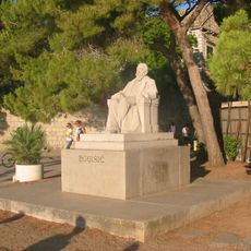
Bogišić
17.8 km
Church of Saint Petka, Grab
12.7 km
Gručalica
11 km
Vjetreni mlin
8.1 km
Villa Broz Tito
13.6 km
Vrbanj Adventure Park
11.6 km
Srednjovjekovno groblje
7.4 km
Monument to Sergeants Mustur
17.7 km
Spomenik Luki Vukaloviću
15.3 km
Statue, Work of art
11.5 kmReviews
Visited this place? Tap the stars to rate it and share your experience / photos with the community! Try now! You can cancel it anytime.
Discover hidden gems everywhere you go!
From secret cafés to breathtaking viewpoints, skip the crowded tourist spots and find places that match your style. Our app makes it easy with voice search, smart filtering, route optimization, and insider tips from travelers worldwide. Download now for the complete mobile experience.

A unique approach to discovering new places❞
— Le Figaro
All the places worth exploring❞
— France Info
A tailor-made excursion in just a few clicks❞
— 20 Minutes