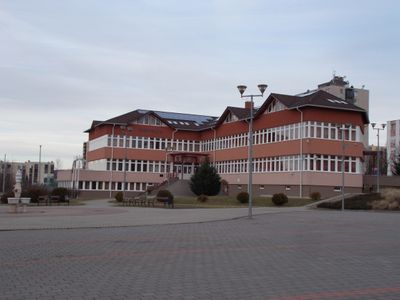
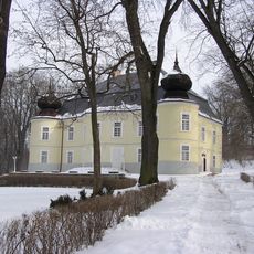
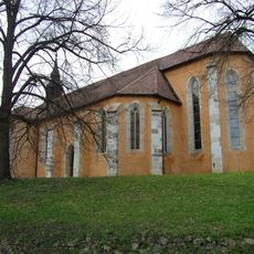
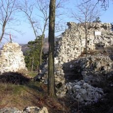
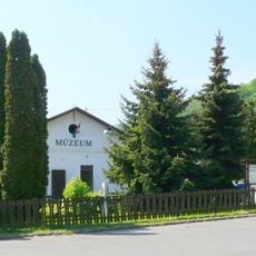
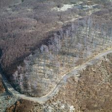
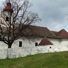
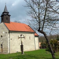
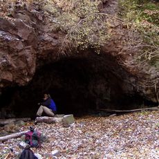
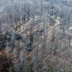
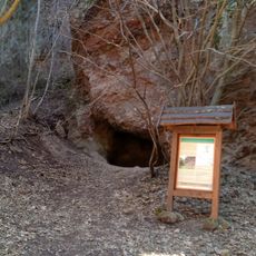
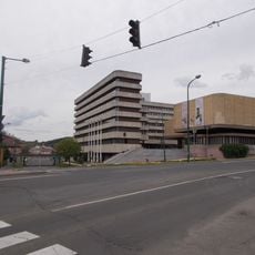
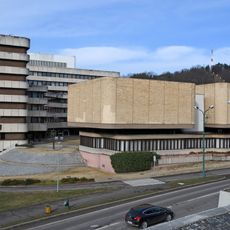
Bátonyterenye District, district of Hungary
Location: Nógrád County
Inception: January 1, 2013
Capital city: Bátonyterenye
Shares border with: Salgótarján District, Pásztó District, Pétervására District, Gyöngyös District
GPS coordinates: 48.00000,19.85000
Latest update: March 14, 2025 17:35
Galya-kilátó
10.6 km
Galya-tető
10.5 km
Piszkéstető Station
9.7 km
Maconka Reservoir
679 m
Zenthe Ferenc Theatre
12.1 km
Castle of Hasznos
10.8 km
Kőlyuk
13.5 km
Hermit caves of Szentkút
6.4 km
Basilica of Our Lady of Assumption, Mátraverebély-Szentkút
6.8 km
Gyürky-Solymossy Castle & Park, Kisterenye
1.6 km
Our Lady church in Mátraverebély
7.8 km
Fejérkő vára
9.8 km
Betyár Cave
6.6 km
Salgótarján mining museum
12.1 km
Nyesettvár
12.1 km
Baglyaskő vára
12.8 km
Saint Michael Church, Tar
9.7 km
Roman Catholic Church in Maconka
1.3 km
Gyula Cave
8.6 km
Óvár
13.7 km
Függő-kői Cave
14.1 km
Sports Hall, Salgótarján
12.6 km
Town Hall, Salgótarján
12 km
Statue of Stefan Batory
13.1 km
Tót-hegyes
14.2 km
Dupla Cavity
10 km
Szőlő-hegyi Cave
14.4 km
Dornyay Béla Museum
11.9 kmReviews
Visited this place? Tap the stars to rate it and share your experience / photos with the community! Try now! You can cancel it anytime.
Discover hidden gems everywhere you go!
From secret cafés to breathtaking viewpoints, skip the crowded tourist spots and find places that match your style. Our app makes it easy with voice search, smart filtering, route optimization, and insider tips from travelers worldwide. Download now for the complete mobile experience.
A unique approach to discovering new places❞
— Le Figaro
All the places worth exploring❞
— France Info
A tailor-made excursion in just a few clicks❞
— 20 Minutes