Enable Location

We need your location to show you interesting places around you

Discover nearby places

Find interesting locations and hidden gems around you

Precise directions

Get accurate directions and distances to places

Your location is never shared with other users. It's only used when you tap the location button.

Galya-tető

Log in to your account

Start exploring — it's free

Trusted by 62,063 travelers worldwide

Continue with Google
Continue with Apple
or

We will send you a code to connect

By continuing, you accept our Terms and Conditions and our Privacy Policy

Check your inbox

We've sent a pincode in your inbox. Please enter the code below.

Galya-tető

Galya-tető, Mountain summit in Heves County, Hungary.

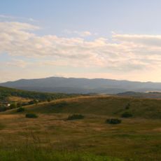
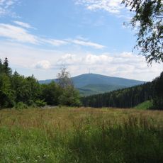
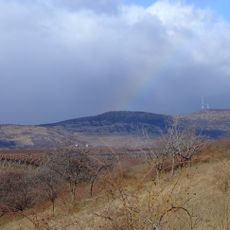
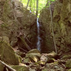
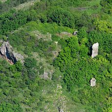
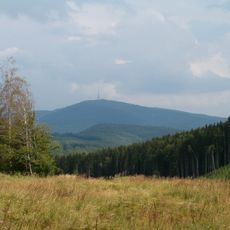
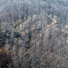
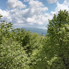
Galya-tető is a mountain peak in the Mátra range reaching about 964 meters and serves as a natural viewpoint above the surrounding landscape. Multiple trails cross the slopes through wooded areas and open sections.

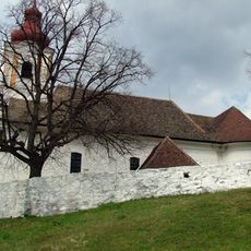
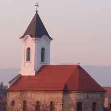
In the 1890s the Mátra Association began establishing infrastructure on the peak, opening the area to organized mountain recreation. A church followed decades later, anchoring the summit in regional identity.

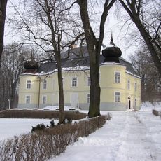
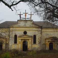
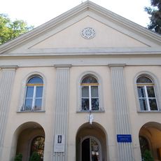
The Church of Patrona Hungariae stands on the summit as a focal point for visitors and pilgrims throughout the seasons. The building reflects the enduring role of faith in shaping how people use this mountain space.

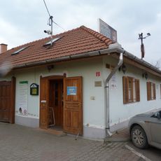
The summit is reachable from Budapest by regular bus service, with lodging options available including a hotel with ample rooms nearby. Sturdy footwear and layered clothing work well here, as conditions at the top can be windy and changeable.

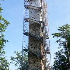
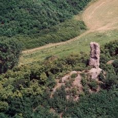
The peak serves as an official stamping station for the National Blue Trail, contributing to a popular Hungarian hiking passport system. A stone watchtower on nearby Péter-hegyese from the 1930s adds another dimension to exploring the area.

The community of curious travelers

AroundUs brings together thousands of curated places, local tips, and hidden gems, enriched daily by 60,000 contributors worldwide.

Start exploring
Location
Elevation above the sea
964 m
GPS coordinates
47.91623,19.91609
Latest update
December 12, 2025 07:51
« Galya-tető - Mountain summit in Heves County, Hungary » is provided by Around Us (aroundus.com). Images and texts are derived from Wikimedia project under a Creative Commons license. You are allowed to copy, distribute, and modify copies of this page, under the conditions set by the license, as long as this note is clearly visible.

Discover hidden gems everywhere you go!

From secret cafés to breathtaking viewpoints, skip the crowded tourist spots and find places that match your style. Our app makes it easy with voice search, smart filtering, route optimization, and insider tips from travelers worldwide. Download now for the complete mobile experience.

Around Us App Screenshot

A unique approach to discovering new places

Le Figaro

All the places worth exploring

France Info

A tailor-made excursion in just a few clicks

20 Minutes

Around Us
Travel Guide & Maps
Download

Send to your phone

QR Code
1

Open the camera app on your mobile.

2

Point at the QR code with your camera. A notification will appear.

3

Tap the notification to open the link.