Sár Hill, Protected hill and Natura 2000 site in Gyöngyös, Hungary
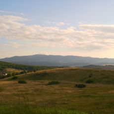
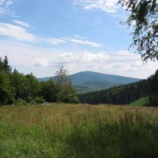
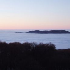
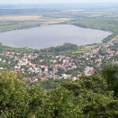
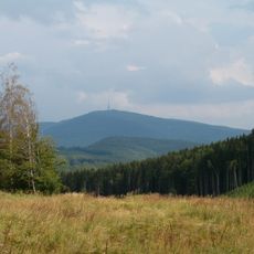
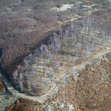
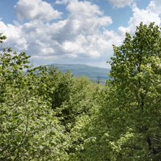
Sár Hill is a 500-metre andesite hill between Gyöngyös, Mátrafüred and Abasár, rising as a peninsula-like spur of the Central Mátra volcanic block. Its southern slopes are covered with thick Quaternary loess and vineyards, while the flat, plateau-like top holds the 50–55 m wide Szent Anna Lake in a northern depression.
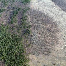
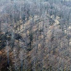
Sár Hill was declared a protected area in 1975, covering 186 hectares, on account of its species-rich wildlife. Its slopes had long been wooded and planted with vines, and the vineyards around them survive today. The hill also holds Natura 2000 designation as a protected area.
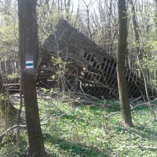
The name Sár-hegy ("Mud Hill") refers to the hill itself, whose slopes above Gyöngyös have long been planted with vines; weekend houses and resort plots line the Gyöngyös side. A 7 km nature trail with 12 marked stations presents the flora and fauna, including the Szent Anna Lake, a shallow depression about 50–55 m across that dries out in dry years.
The hill is reached from the 2416 road, which branches off the 3rd main road near Gyöngyös towards Abasár, Verpelét and Eger. A 7 km nature trail with 12 marked stations crosses the protected area. The Szent Anna Lake in a northern depression, about 50–55 m across, can dry out completely in years with little rain.
The flat, plateau-like summit holds Szent Anna Lake, a basin about 50–55 m across in a northern slope depression. In dry years its open water disappears entirely, yet the spot remains habitat for rare plants and butterflies. The Külső-Mérges Creek rises at the hill's northeastern foot.
The community of curious travelers
AroundUs brings together thousands of curated places, local tips, and hidden gems, enriched daily by 93,121 contributors worldwide.