Ópusztaszer, village in Csongrád, Hungary
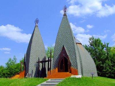
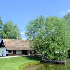
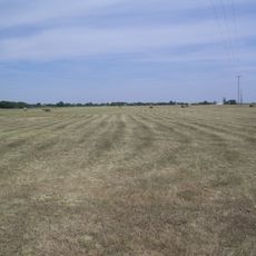
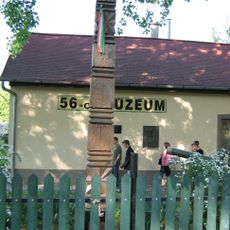
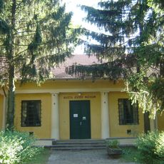
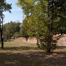
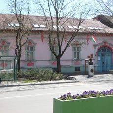
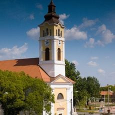
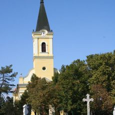
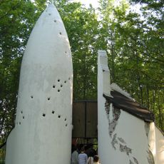
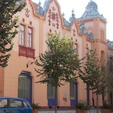
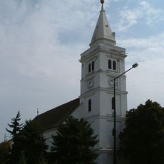
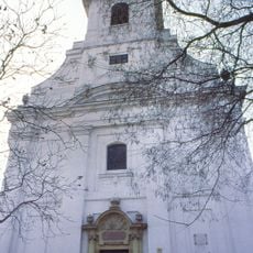
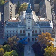
Ópusztaszer is a small village in the Kistelek District with large open spaces, pathways, and fields that reveal how the region developed over time. The settlement offers visitors a range of structures, including a visitor center, traditional buildings such as yurts, and various monuments that document centuries of Hungarian history.
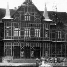
Ópusztaszer grew from an early settlement led by a chief named Ond and was originally called Sövényház before King Károly Róbert visited in the 1300s. The village underwent changes across centuries and received its current name in 1973 to honor its long past.
Ópusztaszer maintains traditional Hungarian customs that visitors can observe during local celebrations and seasonal gatherings in the village. The community keeps old practices alive through festivals and events where residents wear traditional clothing and share their cultural heritage.
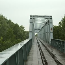
The village is easily accessible by car or bus with signs directing visitors to the site. It is wise to purchase tickets online in advance and allow time to explore the 33 stations positioned along the pathways.
The village is home to one of the world's largest mazes, shaped like a legendary magical horse from mythology and visible from above. The Csillagösvény path is an entertaining feature for visitors of all ages who want to experience local heritage in a playful way.
The community of curious travelers
AroundUs brings together thousands of curated places, local tips, and hidden gems, enriched daily by 60,000 contributors worldwide.