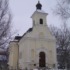
Zone de protection paysagère de Mártély, protected area
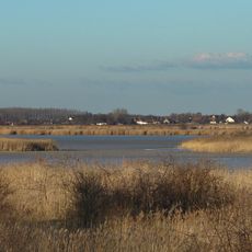
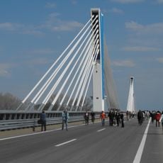
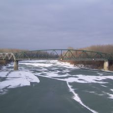
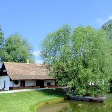
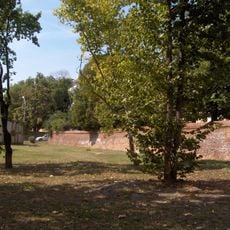
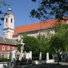
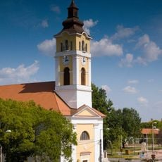
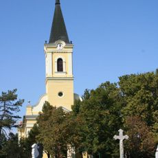
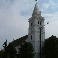
Mártély landscape protection zone is a nature reserve in the Tisza River floodplain in Hungary, spanning over 2200 hectares and characterized by a mix of open meadows, lakes, and wooded patches. The terrain shifts between open water and vegetated areas, with the river reshaping the landscape through regular seasonal floods.
The area was designated as a protected zone in 1971 and later recognized as a Ramsar site in 1979 to safeguard its importance for waterbirds and wetlands. The landscape was shaped by Tisza River regulation, with planted trees now over 80 years old becoming integral to the ecosystem.
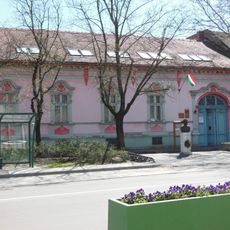
The name reflects the area's roots in local tradition, and residents view it as an important natural refuge. Visitors can observe how traditional activities like fishing and walking remain woven into daily life here and help shape how people relate to the landscape.
The area is easy to access with simple paths along the water's edge where visitors can observe wildlife without disturbing nature. Early mornings and weekends are ideal for exploring, as the area remains quiet and birds are easier to spot.
In June, the remarkable 'Blooming of Tisza' occurs when mayfly larvae hatch simultaneously and fill the sky with a dense cloud of insects. This rare natural spectacle attracts massive flocks of birds that feast on the millions of tiny creatures.
The community of curious travelers
AroundUs brings together thousands of curated places, local tips, and hidden gems, enriched daily by 60,000 contributors worldwide.