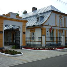
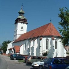
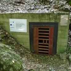
Cserehát, Hill region in northeastern Hungary
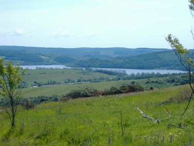
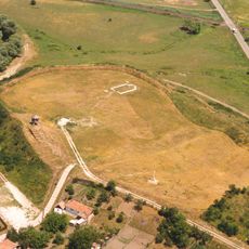
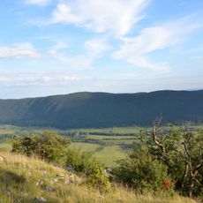
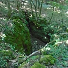
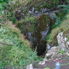
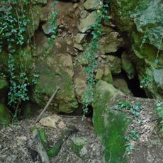
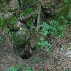
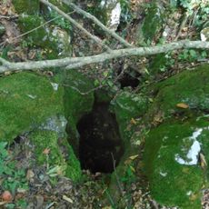
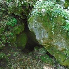
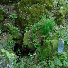
Cserehát is a hill region in northeastern Hungary that stretches in a triangular shape between the Bódva and Hernád rivers, with elevations reaching around 250 to 300 meters. Several streams including Rakaca, Vadász-patak, and Sás-patak flow through its valleys and can swell after heavy rainfall.
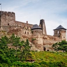
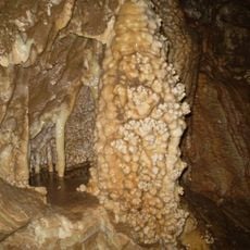
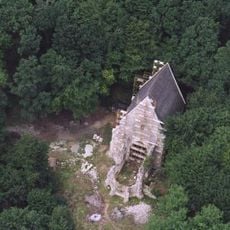
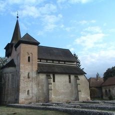
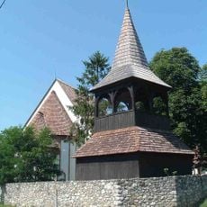
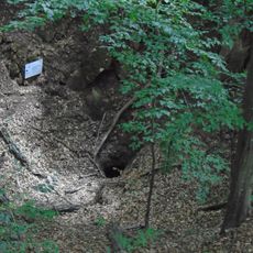
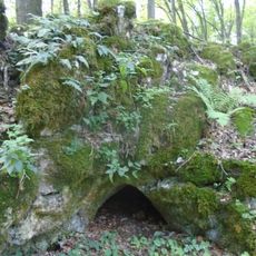
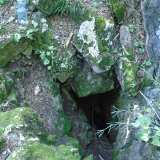
Archaeological excavations revealed remains from the Stone Age, Bronze Age, and Avar period, showing that people lived in this region long before Hungarians arrived. The findings demonstrate continuous settlement and use of the land over many centuries.
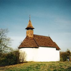
The name comes from the extensive chestnut oak forests that once covered the area, showing how deeply the landscape shaped local identity and naming traditions.
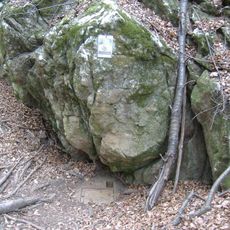
The region is best explored on foot or with local knowledge, as the valleys and streams create a varied landscape to navigate. After heavy rainfall, caution is needed since streams can swell quickly and some paths may become impassable.
The area functions as a natural bridge connecting three distinct geographical regions: Bükk, Aggtelek Karst, and Zemplén Mountains. This position between different landscape types makes it a transit point where the character of the land shifts noticeably.
The community of curious travelers
AroundUs brings together thousands of curated places, local tips, and hidden gems, enriched daily by 60,000 contributors worldwide.