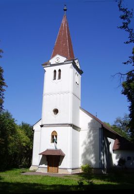
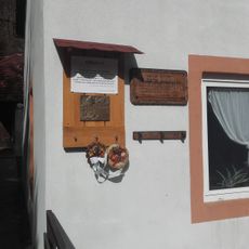
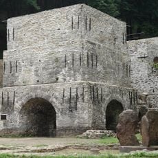
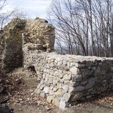
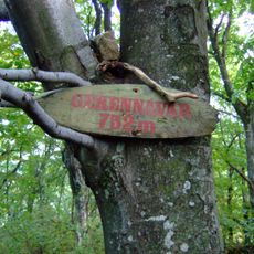
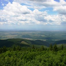
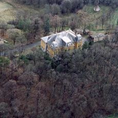
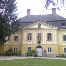
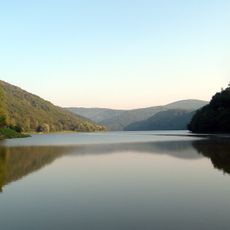
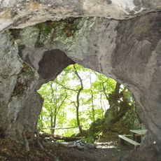
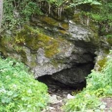
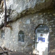
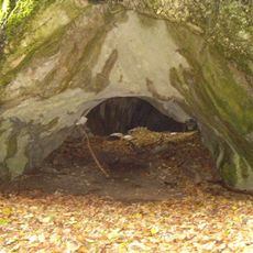
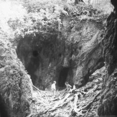
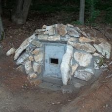
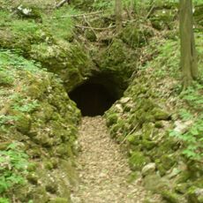
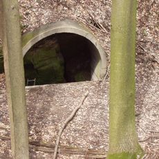
Dédestapolcsány, village in Hungary
Location: Kazincbarcika District
Inception: 1950
Website: http://dedestapolcsany.hu
GPS coordinates: 48.18026,20.48348
Latest update: April 20, 2025 20:43
Lázbérc Reservoir
3.3 km
Bánkút
9.1 km
Ancient Blast Furnace, Massa Museum
10.8 km
Castle of Dédes
5.2 km
Gerenna Castle
10.6 km
Bálvány
9 km
Serényi Mansion, Dédes (Dédestapolcsány)
1.2 km
Platthy Mansion
5.1 km
Lázbérci Protected Landscape Area
3.8 km
Sólyom-kút Rock Shelter
8.8 km
Létrás Cave
11.4 km
Diabáz Cave
9.4 km
Odvas-kő Rock Shelter
5.1 km
Körös Cave
12.6 km
Udvar Rock
10.6 km
Bolhás–Jávorkút Cave System
9.6 km
Szepesi–Láner Cave system
12.2 km
Felső-forrási Cave
11.6 km
Lilla Cave
11.5 km
Fekete Cave
9.7 km
Csókás Cave
9.9 km
Három-kút Remete Cave
8.2 km
Vadnai vár
10.8 km
Szilvásvárad state stud
11.5 km
Gyurkó-lápa Cave
7 km
Bronzika Cave
11.5 km
Tuskós Cave
11.4 km
Round Church, Szilvásvárad
10.7 kmReviews
Visited this place? Tap the stars to rate it and share your experience / photos with the community! Try now! You can cancel it anytime.
Discover hidden gems everywhere you go!
From secret cafés to breathtaking viewpoints, skip the crowded tourist spots and find places that match your style. Our app makes it easy with voice search, smart filtering, route optimization, and insider tips from travelers worldwide. Download now for the complete mobile experience.
A unique approach to discovering new places❞
— Le Figaro
All the places worth exploring❞
— France Info
A tailor-made excursion in just a few clicks❞
— 20 Minutes