Kőris-hegy, Volcanic mountain in Hungary.
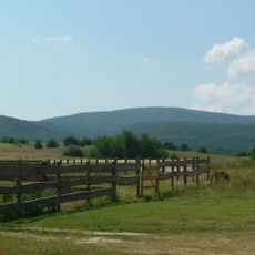
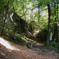
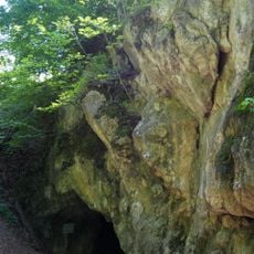
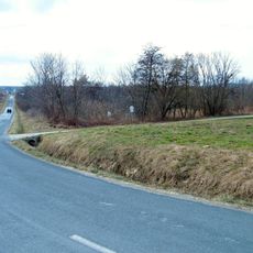
Kőris-hegy is a volcanic mountain in Veszprém County that reaches about 700 meters in height. Its slopes display varied rock formations and natural terrain shaped by ancient volcanic activity.
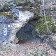
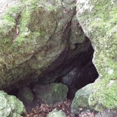
Kőris-hegy is the highest point of the Bakony at 709 m, in Veszprém County within the Magas-bakonyi Landscape Protection Area, 5 km northeast of Bakonybél. Its Odvas-kői-barlang cave has been under archaeological protection since 1951 and strictly protected since 1982; the name Oduaskw appears in a 1037 charter of King Stephen I, the earliest written Hungarian place name referring to a cave. In 1976 a long-range radar station for civil air traffic control was built on the summit, operated by HungaroControl.
The name comes from the ash (kőris) forests covering its slopes. The Odvas-kői cave below the summit appears as Oduaskw in a 1037 charter of King Stephen I, the earliest written Hungarian place name referring to a cave; it has been protected since 1951 and strictly protected since 1982. The Országos Kéktúra long-distance trail crosses the summit.
A network of marked paths allows hikers to ascend from several starting points across the area. It is best to wear sturdy footwear and clothing suited to weather conditions.
The Odvas-kői-barlang on the mountain's slope appears as Oduaskw in a 1037 charter of King Stephen I, the earliest written record of a cave name in Hungary. It has been under archaeological protection since 1951 and strictly protected since 1982 for its scientific history.
The community of curious travelers
AroundUs brings together thousands of curated places, local tips, and hidden gems, enriched daily by 94,341 contributors worldwide.