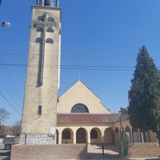
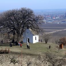
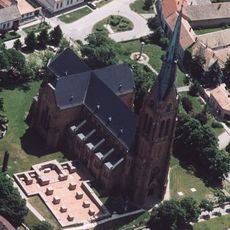
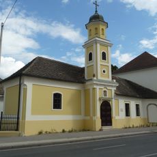
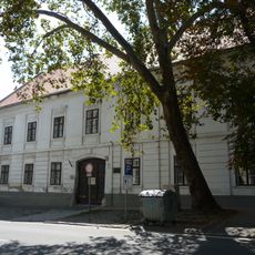
Sárköz, Geographic region in Tolna and Bács-Kiskun Counties, Hungary.
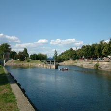
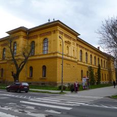
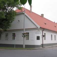
Sárköz is a rural region stretching across the Danube floodplain with farmland and villages scattered throughout two counties. The landscape consists of flat terrain, cultivated fields, and settlements built close to water sources.
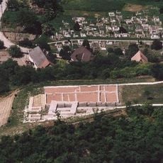
The region developed over centuries shaped by agriculture and regular flooding from the Danube, which determined settlement patterns and farming methods. Communities adapted their practices to these natural cycles, developing techniques suited to the water-affected environment.
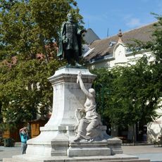
People here maintain traditional embroidery patterns and folk dress that reflect their connection to the land and village crafts. These skills remain visible in local celebrations and everyday clothing worn by residents.
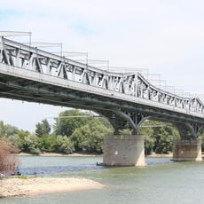
The area is best explored by driving or cycling through village roads that connect settlements and local markets. Weather can change quickly due to the proximity to the river, so flexible planning works better than rigid schedules.
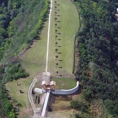
The soil here supports specific crop varieties that have been grown for generations, creating farming methods different from other regions. These adapted techniques became part of local identity and remain visible in how fields are organized today.
The community of curious travelers
AroundUs brings together thousands of curated places, local tips, and hidden gems, enriched daily by 60,000 contributors worldwide.