Tolna County, Administrative county in Southern Transdanubia, Hungary.
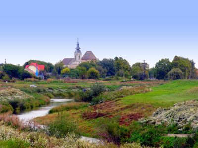
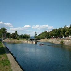
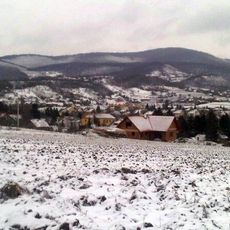
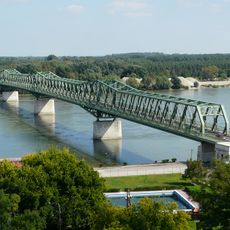
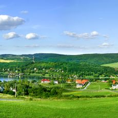
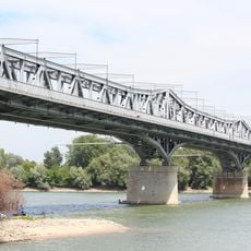
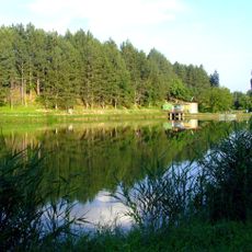
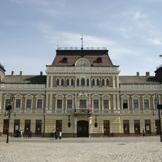
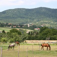
Tolna County spans a region of rolling hills, valleys, and farmland situated along the western bank of the Danube River in Southern Transdanubia. The landscape alternates between cultivated fields and forested areas, with Szekszárd functioning as the administrative hub.
The area served as an administrative unit under the Hungarian Kingdom for centuries, maintaining its territorial organization through various periods. Following the mid-20th century, it became part of contemporary Hungary's administrative framework.
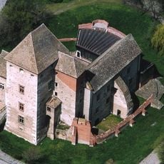
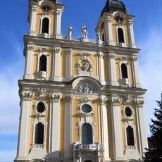
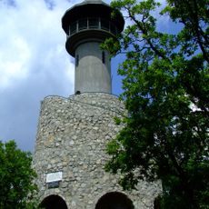
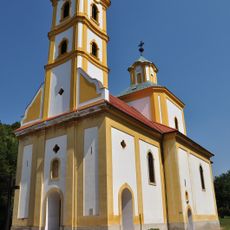
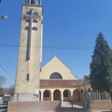
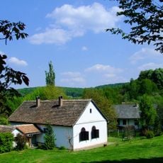
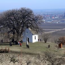
Rural traditions shape daily life across the region, visible in local crafts, farming practices, and community gatherings throughout the year. Villages retain traditional architecture and lifestyles that reflect generations of settlement patterns in the area.
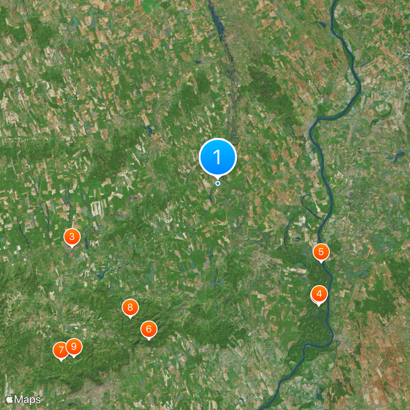
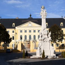
The region is well-connected by roads and railways to major Hungarian cities, making travel straightforward. Visitors can explore the area from various starting points and find main services and infrastructure centered around Szekszárd.
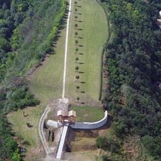
A nuclear power plant in Paks contributes substantially to the country's electricity generation and makes the area central to national energy production. This facility is one of Hungary's most significant industrial structures and shapes the region's economic importance.
The community of curious travelers
AroundUs brings together thousands of curated places, local tips, and hidden gems, enriched daily by 60,000 contributors worldwide.