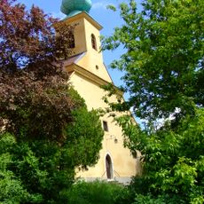
Hármashegy, Mountain summit in Mecsek Mountains, Hungary.
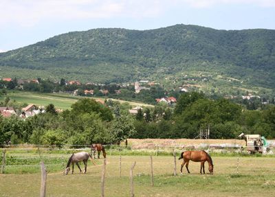
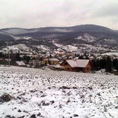
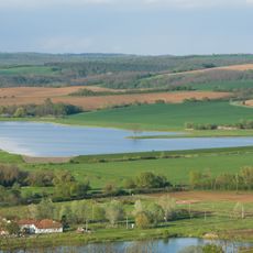
Hármashegy is a mountain summit in the Mecsek range at 603 meters elevation, ranking as the third highest peak there. A winding road with steep gradients connects the peak to the nearby village of Hosszúhetény.
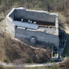
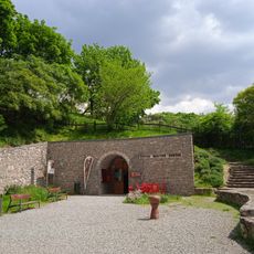
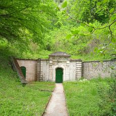
The mountain received a radar installation in 1987 when the Baranya County Anti-Hail Rocket Unit relocated its operations there. This facility marked a significant change in the peak's modern use.
The mountain appears in the coat of arms of Hosszúhetény, reflecting the Hungarian tradition of depicting peaks in municipal symbols. This representation shows how deeply the local community identifies with its surrounding landscape.
The access road features steep gradients and narrow winding sections that require careful driving. Plan your visit during dry weather to ensure safe driving conditions on this demanding route.
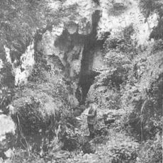
The peak actually consists of three separate summits, with the central one rising to 604 meters while the others form distinct ridges visible from the main summit. This multi-peaked formation creates a rare geographical feature that distinguishes the location.
The community of curious travelers
AroundUs brings together thousands of curated places, local tips, and hidden gems, enriched daily by 60,000 contributors worldwide.