County Laois, Administrative county in Leinster, Ireland
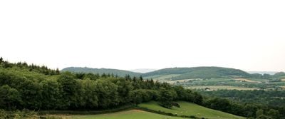
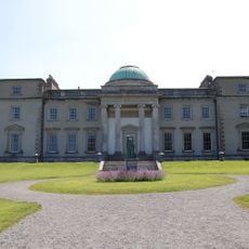
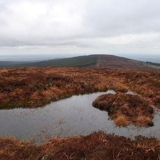
County Laois is an administrative area in the province of Leinster, lying in the central part of Ireland with Portlaoise as its main town. The territory covers about 1700 square kilometers (roughly 660 square miles) of gently rolling farmland dotted with small towns and patches of woodland.
Queen Mary I of England created the territory in 1556 as Queen's County to strengthen English control and gave it formal administrative status. After the Irish War of Independence it regained its Gaelic name Laois in 1922, which it has kept ever since.
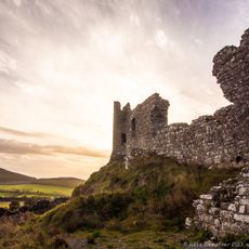
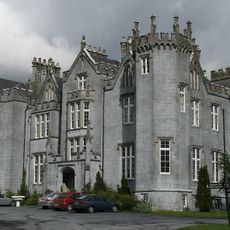
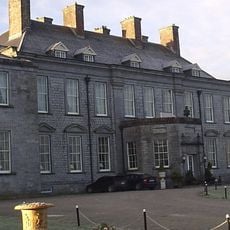
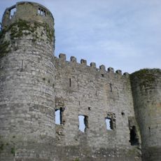
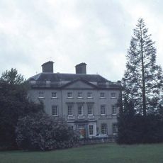
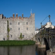
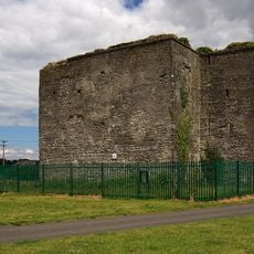
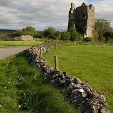
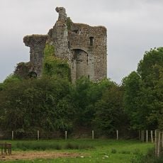
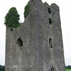
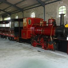
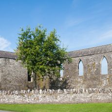
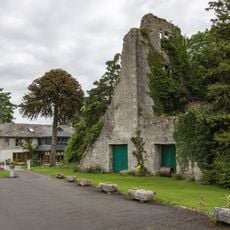
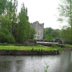
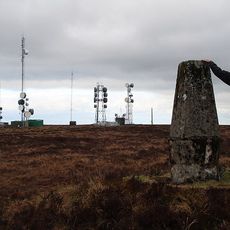
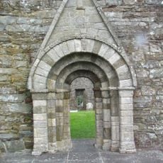
The name comes from Loígis, the Gaelic word for the people who lived here before it became part of a wider kingdom. Stone circles and hill forts scatter across the landscape, remnants of early settlements that visitors still encounter along back roads and farm fields today.
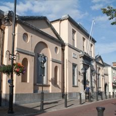
Portlaoise sits centrally and works well as a base for exploring the surrounding farmland and wooded areas with their old stone sites. Roads tend to be flat and well maintained, making navigation straightforward even when some rural stretches become narrower.
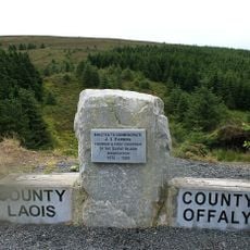
This is the only Irish administrative territory without access to the sea or any major coastline. Surrounded entirely by other regions, it has developed a character fully focused on inland life and farming rhythms.
The community of curious travelers
AroundUs brings together thousands of curated places, local tips, and hidden gems, enriched daily by 60,000 contributors worldwide.