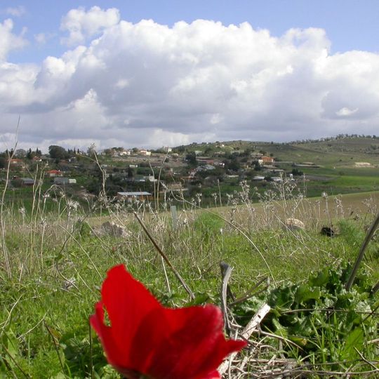
Kfar Uria, human settlement
Location: Mateh Yehuda Regional Council
Inception: 1944
Elevation above the sea: 205 m
GPS coordinates: 31.79360,34.94840
Latest update: April 17, 2025 03:25
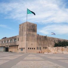
Yad La-Shiryon
5.8 km
Karmei Yosef
6.6 km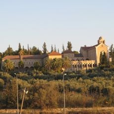
Latrun Abbey
5.3 km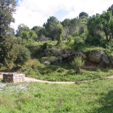
Canada Park
6.9 km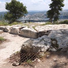
Zorah
4.1 km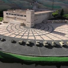
Mini Israel
5.7 km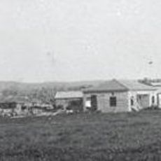
Mishmar David
5.4 km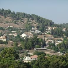
Eshtaol
6 km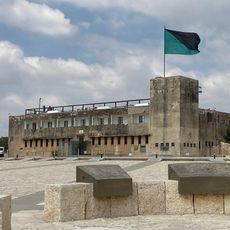
Yad Lashiryon
5.7 km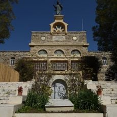
Deir Rafat
2 km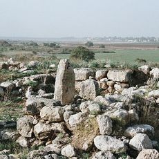
Tel Batash
3.6 km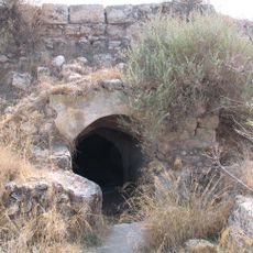
Latrun Castle
5.3 km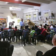
Biblical Museum of Natural History
6.2 km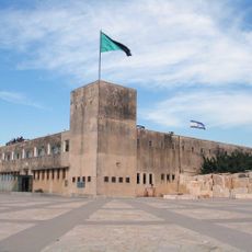
Latrun fort
5.8 km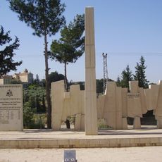
Jewish Patisans and Ghetto fighers memorial in Latrun, Israel
5.6 km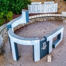
Mahal memorial
7.1 km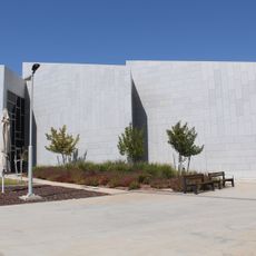
Israeli Police Heritage Center
5.9 km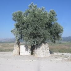
From Fragments to Hope Memorial
5.9 km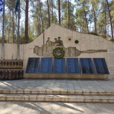
IDF 184th Tank Battalion Memorial
2.8 km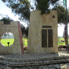
Alexandroni Brigade memorial in Latrun
4.1 km
The Biblical Museum of Natural History
5.1 km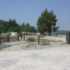
5th Palmach Battalion Monument
7.1 km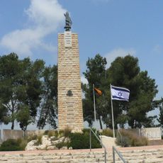
Road of Heroism Monument in memory of the Fallen of the IDF Engineering Corps
5.5 km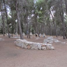
Memorial to the Fallen of the 500th IDF Brigade
5.7 km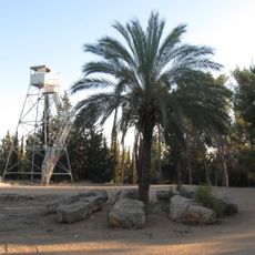
Moshe Sharett Memorial
5.6 km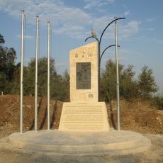
Latrun detension camp memorial
4.1 km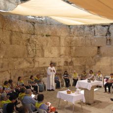
Church ruins at Emmaus Nicopolis
6.4 km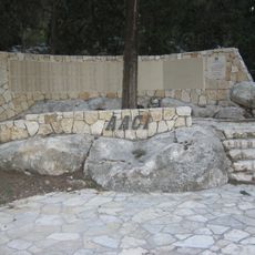
Association of Americans and Canadians in Israel Memorial Forest
7 kmReviews
Visited this place? Tap the stars to rate it and share your experience / photos with the community! Try now! You can cancel it anytime.
Discover hidden gems everywhere you go!
From secret cafés to breathtaking viewpoints, skip the crowded tourist spots and find places that match your style. Our app makes it easy with voice search, smart filtering, route optimization, and insider tips from travelers worldwide. Download now for the complete mobile experience.

A unique approach to discovering new places❞
— Le Figaro
All the places worth exploring❞
— France Info
A tailor-made excursion in just a few clicks❞
— 20 Minutes
