Geography of Israel, Geographical territory at the eastern Mediterranean Sea, Israel
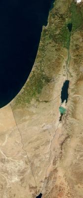
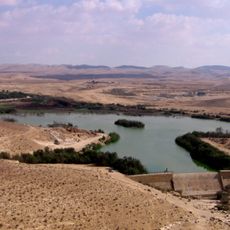
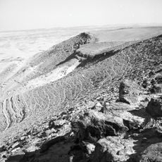
This territory stretches 424 kilometers from north to south, encompassing coastal plains, central highlands, the Jordan Valley, and the Negev Desert. These four zones form a mosaic of contrasting landscapes that shift noticeably within short distances.
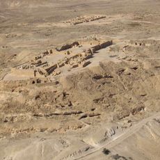
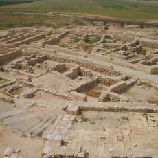
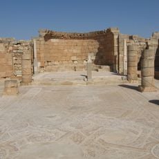
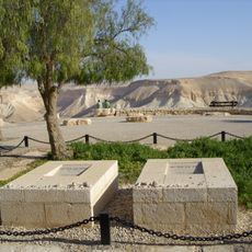
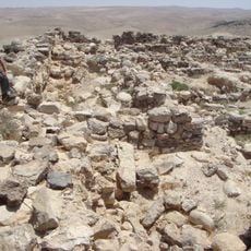
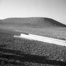
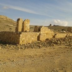
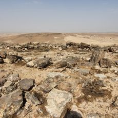
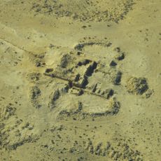
Romans built fortifications along mountain ridges and constructed water systems in arid zones to secure control over the area. These structures shaped infrastructure and influenced later settlement patterns in the highlands and deserts.
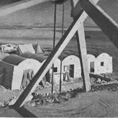
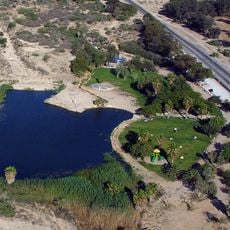
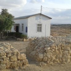
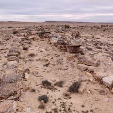
Coastal plains along the Mediterranean shape daily life in western cities, while the Jordan Valley to the east has fostered different habits and routines. Desert dwellers have developed techniques over centuries to cope with extreme dryness and protect water sources.
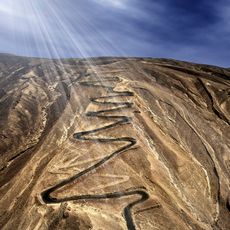
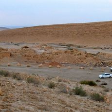
Coastal areas offer mild winters and dry summers, while desert zones experience sharp temperature swings and minimal precipitation. Travelers should plan different clothing for each zone and carry water supplies when visiting arid regions.
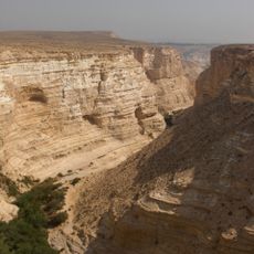
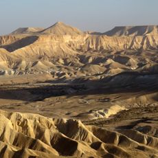
Mount Meron reaches 1,208 meters (3,963 feet) in elevation, while the Dead Sea lies 400 meters (1,312 feet) below sea level. This span of over 1,600 meters (5,249 feet) within a relatively compact area creates extraordinary climatic contrasts and ecosystems.
The community of curious travelers
AroundUs brings together thousands of curated places, local tips, and hidden gems, enriched daily by 60,000 contributors worldwide.