Enable Location

We need your location to show you interesting places around you

Discover nearby places

Find interesting locations and hidden gems around you

Precise directions

Get accurate directions and distances to places

Your location is never shared with other users. It's only used when you tap the location button.

Tiruchirappalli district

Log in to your account

Start exploring — it's free

Trusted by 61,824 travelers worldwide

Continue with Google
Continue with Apple
or

We will send you a code to connect

By continuing, you accept our Terms and Conditions and our Privacy Policy

Check your inbox

We've sent a pincode in your inbox. Please enter the code below.

Tiruchirappalli district

Tiruchirappalli district, Administrative district in Tamil Nadu, India

Description

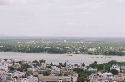
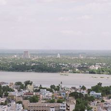
Tiruchirappalli is an administrative district in Tamil Nadu that spans about 4,400 square kilometers (1,700 square miles) and is crossed by the Kaveri River. The landscape shifts between plains, valleys, hills, and semi-arid areas where farmers grow rice, sugarcane, bananas, coconuts, and cotton.

History

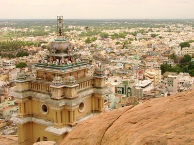
The region was under British rule as Trichinopoly within the Madras Presidency until India gained independence in 1947. This colonial period shaped the administrative structure and urban development that remains visible in the district today.

Culture

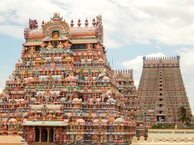
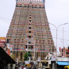
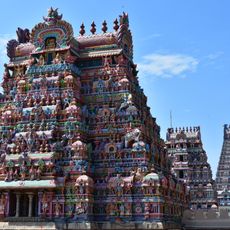
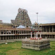
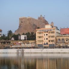
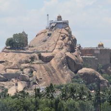
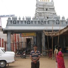
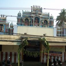
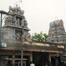
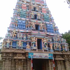
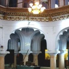
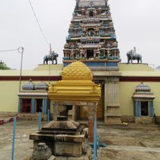
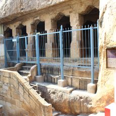
The district contains five major Divya Desam temples, including the Ranganathaswamy Temple in Srirangam, where religious ceremonies shape daily life for people here. Visitors can observe devotional practices and temple architecture that have defined the spiritual character of this region for centuries.

Practical

The district is best explored by taking local buses and taxis to move between villages and towns at a relaxed pace. The most pleasant time to visit is from October to March, when the weather is comfortable and agricultural activities are visible throughout the rural areas.

Did you know?

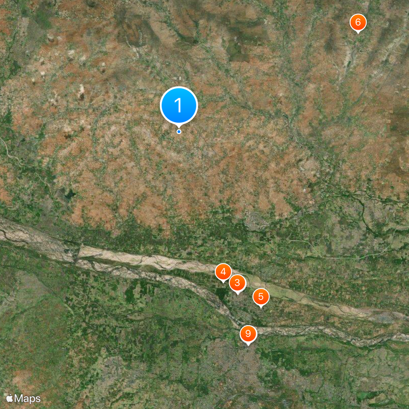
The district borders ten other Tamil Nadu districts, more than any other administrative area in the state. This central location makes it an important crossroads connecting different regions of South India.

Location
Capital city
Tiruchirappalli
Shares border with
Namakkal district
GPS coordinates
10.97000,78.65000
Latest update
December 14, 2025 19:28

AroundUs brings together thousands of curated places, local tips, and hidden gems, enriched daily by 60,000 contributors worldwide. Discover all places nearby (Tamil Nadu).

« Tiruchirappalli district - Administrative district in Tamil Nadu, India » is provided by Around Us (aroundus.com). Images and texts are derived from Wikimedia project under a Creative Commons license. You are allowed to copy, distribute, and modify copies of this page, under the conditions set by the license, as long as this note is clearly visible.

Discover hidden gems everywhere you go!

From secret cafés to breathtaking viewpoints, skip the crowded tourist spots and find places that match your style. Our app makes it easy with voice search, smart filtering, route optimization, and insider tips from travelers worldwide. Download now for the complete mobile experience.

Around Us App Screenshot

A unique approach to discovering new places

Le Figaro

All the places worth exploring

France Info

A tailor-made excursion in just a few clicks

20 Minutes

Around Us
Travel Guide & Maps
Download

Send to your phone

QR Code
1

Open the camera app on your mobile.

2

Point at the QR code with your camera. A notification will appear.

3

Tap the notification to open the link.