Enable Location

We need your location to show you interesting places around you

Discover nearby places

Find interesting locations and hidden gems around you

Precise directions

Get accurate directions and distances to places

Your location is never shared with other users. It's only used when you tap the location button.

Jorhat district

Log in to your account

Start exploring — it's free

Trusted by 62,940 travelers worldwide

Continue with Google
Continue with Apple
or

We will send you a code to connect

By continuing, you accept our Terms and Conditions and our Privacy Policy

Check your inbox

We've sent a pincode in your inbox. Please enter the code below.

Discussion Reviews 1 Photos
22.7k Popularity

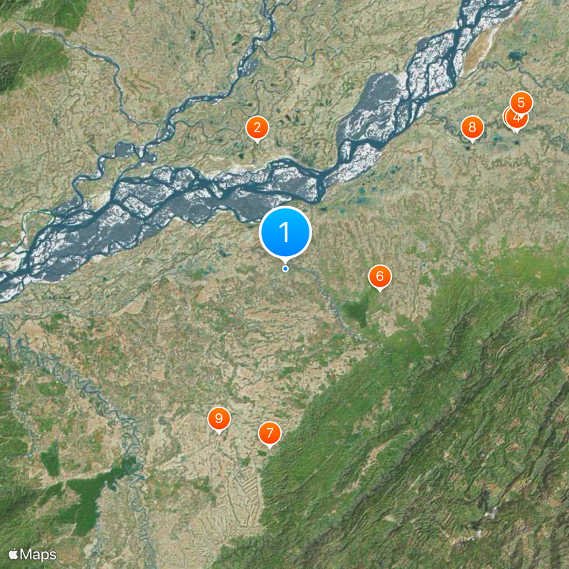
Jorhat district, Administrative district in Upper Assam division, India

Jorhat district is an administrative zone in the Brahmaputra Valley in Upper Assam, spanning a wide area that includes several islands and neighboring regions. The landscape is dominated by extensive tea plantations, while the northern side is defined by Majuli island.

The area was long part of larger administrative units until it became an independent district in 1983. This reorganization reflected the region's growth and the need for more decentralized governance.

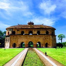
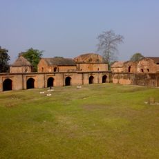
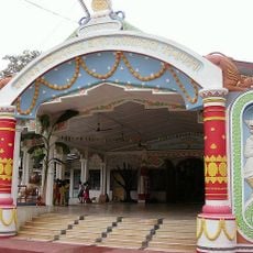
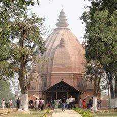
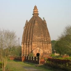
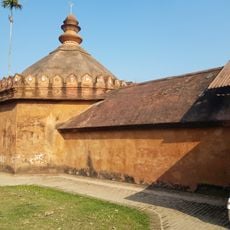
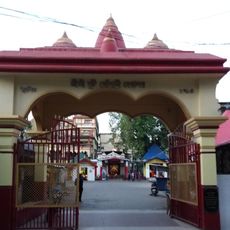
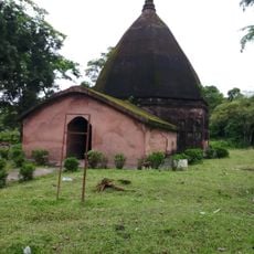
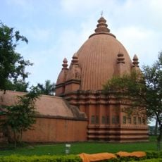
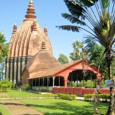
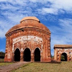
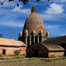
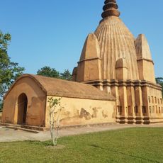
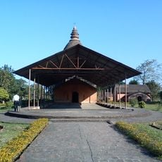
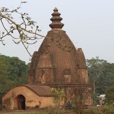
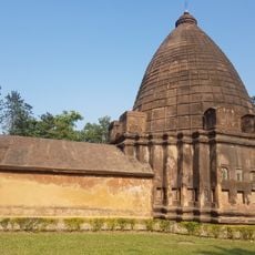
Tea gardens form the backbone of local life, and Majuli island holds traditional Vaishnavite monasteries called Satras that remain active spiritual centers. These sacred spaces draw visitors seeking to understand the region's spiritual traditions and daily customs tied to agriculture and faith.

Jorhat city at the center serves as the administrative hub and is easy to navigate, with various local offices scattered throughout for visitors and residents. The best time to explore is during the cooler months when tea gardens are in full activity.

The Tocklai Tea Research Institute within the region conducts scientific research on tea production and contributes to developing new varieties. This research facility makes the area a center for modern agricultural technology in India.

The community of curious travelers

AroundUs brings together thousands of curated places, local tips, and hidden gems, enriched daily by 60,000 contributors worldwide.

Start exploring
Inception
1983
Capital city
Jorhat
Shares border with
Lakhimpur district
GPS coordinates
26.75000,94.21670
Latest update
December 20, 2025 15:45
Reviews
Share your experience

No review yet

Discussions
Start a discussion...

No discussion yet

« Jorhat district - Administrative district in Upper Assam division, India » is provided by Around Us (aroundus.com). Images and texts are derived from Wikimedia project under a Creative Commons license. You are allowed to copy, distribute, and modify copies of this page, under the conditions set by the license, as long as this note is clearly visible.

Discover hidden gems everywhere you go!

From secret cafés to breathtaking viewpoints, skip the crowded tourist spots and find places that match your style. Our app makes it easy with voice search, smart filtering, route optimization, and insider tips from travelers worldwide. Download now for the complete mobile experience.

Around Us App Screenshot

A unique approach to discovering new places

Le Figaro

All the places worth exploring

France Info

A tailor-made excursion in just a few clicks

20 Minutes

Around Us
Travel Guide & Maps
Download

Send to your phone

QR Code
1

Open the camera app on your mobile.

2

Point at the QR code with your camera. A notification will appear.

3

Tap the notification to open the link.