Enable Location

We need your location to show you interesting places around you

Discover nearby places

Find interesting locations and hidden gems around you

Precise directions

Get accurate directions and distances to places

Your location is never shared with other users. It's only used when you tap the location button.

Log in to your account

Start exploring — it's free

Trusted by 61,553 travelers worldwide

Continue with Google
Continue with Apple
or

We will send you a code to connect

By continuing, you accept our Terms and Conditions and our Privacy Policy

Check your inbox

We've sent a pincode in your inbox. Please enter the code below.

Banswara district

Banswara district, Administrative district in Udaipur division, India.

Description

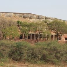
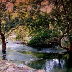
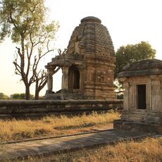
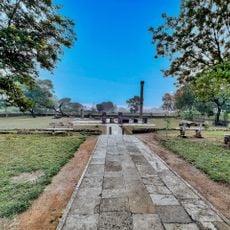
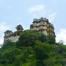
Banswara district spreads across southern Rajasthan with multiple lakes and the Mahi River running through its terrain. The landscape combines water bodies, forested areas, and farmland that shape how people live and work here.

History

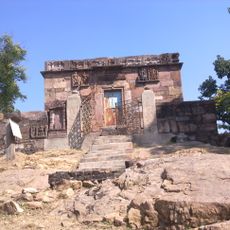
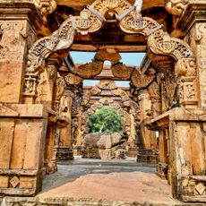
The name Banswara comes from 1529 following events involving the Bhil chief Bansia who once held control of this territory. Its location between two states made it a transitional zone with shifting influences throughout history.

Culture

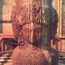
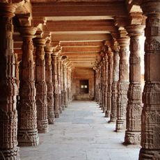
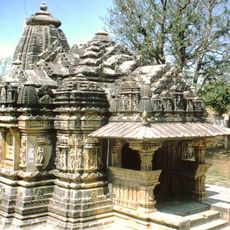
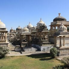
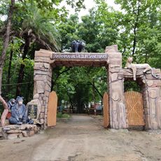
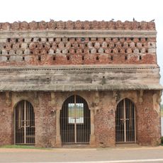
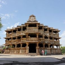
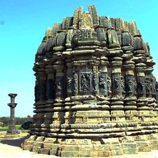
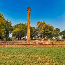
The Bhil communities have shaped local traditions and artisan practices that remain visible throughout the district. Visitors can observe traditional crafts and daily customs practiced in villages and markets.

Practical

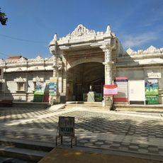
The district is administered from Banswara city as its main center and is divided into several administrative sections serving different areas. Travel through the region is possible using local buses and roads connecting the main towns.

Did you know?

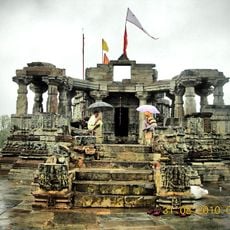
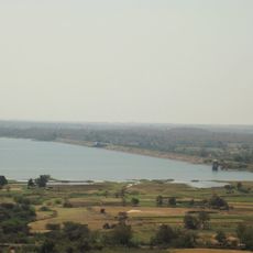
This region receives more rainfall than most other parts of Rajasthan, supporting thick bamboo forests and varied crops. These wetter conditions create a landscape quite different from the drier character of the rest of the state.

Location
Capital city
Banswara
Shares border with
Dungarpur district, Jhabua district, Ratlam district
GPS coordinates
27.20000,74.00000
Latest update
December 7, 2025 19:25

AroundUs brings together thousands of curated places, local tips, and hidden gems, enriched daily by 60,000 contributors worldwide. Discover all places nearby (Udaipur division).

« Banswara district - Administrative district in Udaipur division, India » is provided by Around Us (aroundus.com). Images and texts are derived from Wikimedia project under a Creative Commons license. You are allowed to copy, distribute, and modify copies of this page, under the conditions set by the license, as long as this note is clearly visible.

Discover hidden gems everywhere you go!

From secret cafés to breathtaking viewpoints, skip the crowded tourist spots and find places that match your style. Our app makes it easy with voice search, smart filtering, route optimization, and insider tips from travelers worldwide. Download now for the complete mobile experience.

Around Us App Screenshot

A unique approach to discovering new places

Le Figaro

All the places worth exploring

France Info

A tailor-made excursion in just a few clicks

20 Minutes

Around Us
Travel Guide & Maps
Download

Send to your phone

QR Code
1

Open the camera app on your mobile.

2

Point at the QR code with your camera. A notification will appear.

3

Tap the notification to open the link.