Enable Location

We need your location to show you interesting places around you

Discover nearby places

Find interesting locations and hidden gems around you

Precise directions

Get accurate directions and distances to places

Your location is never shared with other users. It's only used when you tap the location button.

Darjeeling district

Log in to your account

Start exploring — it's free

Trusted by 61,486 travelers worldwide

Continue with Google
Continue with Apple
or

We will send you a code to connect

By continuing, you accept our Terms and Conditions and our Privacy Policy

Check your inbox

We've sent a pincode in your inbox. Please enter the code below.

Darjeeling district

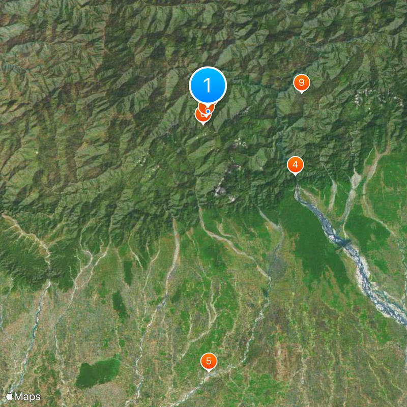
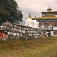
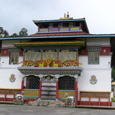
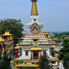
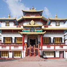
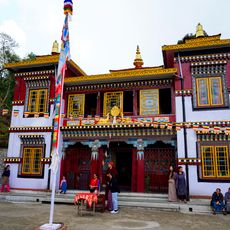
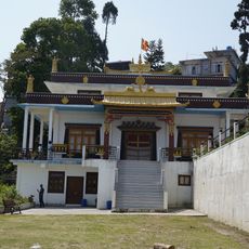
Darjeeling district, Administrative district in West Bengal, India

Description

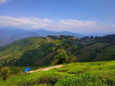
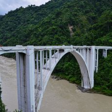
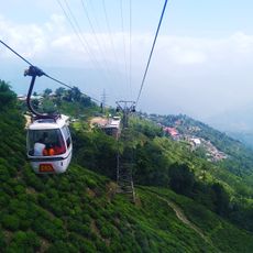
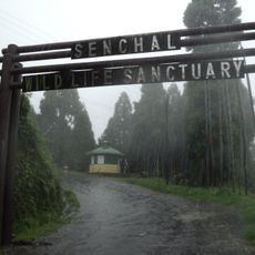
The district sits within Jalpaiguri division in West Bengal and covers hilly areas with tea plantations as well as flatter sections further south. The landscape shifts between dense forests, terraced fields, and small settlements along winding roads.

History

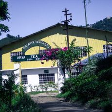
The British took control from Sikkim in 1835 and soon after began planting tea across the hills. Over the decades, workers arrived from Nepal and other regions to labor on the plantations, shaping the population mix.

Culture

Residents speak Nepali in daily life, while Lepcha and Bhutia are also heard, especially in the higher villages. Small shops sell momos and other regional dishes prepared by the different communities living here.

Practical

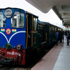
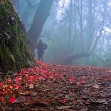
Roads can become slippery during monsoon season, so caution helps when traveling to higher areas. Many places are spread out, so allowing extra time for travel between towns makes sense.

Did you know?

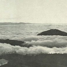
Some tea plantations sit so high that fog often rolls through the rows in the morning, giving moisture to the leaves. These conditions help the tea develop a particular taste that differs from varieties grown in flatter regions.

Capital city
Darjeeling
Shares border with
Gyalshing district, Kishanganj district, Uttar Dinajpur district, Kalimpong district, Jalpaiguri district, Ilam District, Jhapa District, Panchthar District, Namchi district, Panchagarh District
GPS coordinates
27.03750,88.26306
Latest update
December 13, 2025 16:31

AroundUs brings together thousands of curated places, local tips, and hidden gems, enriched daily by 60,000 contributors worldwide. Discover all places nearby (Jalpaiguri division).

« Darjeeling district - Administrative district in West Bengal, India » is provided by Around Us (aroundus.com). Images and texts are derived from Wikimedia project under a Creative Commons license. You are allowed to copy, distribute, and modify copies of this page, under the conditions set by the license, as long as this note is clearly visible.

Discover hidden gems everywhere you go!

From secret cafés to breathtaking viewpoints, skip the crowded tourist spots and find places that match your style. Our app makes it easy with voice search, smart filtering, route optimization, and insider tips from travelers worldwide. Download now for the complete mobile experience.

Around Us App Screenshot

A unique approach to discovering new places

Le Figaro

All the places worth exploring

France Info

A tailor-made excursion in just a few clicks

20 Minutes

Around Us
Travel Guide & Maps
Download

Send to your phone

QR Code
1

Open the camera app on your mobile.

2

Point at the QR code with your camera. A notification will appear.

3

Tap the notification to open the link.