Indo-Gangetic Plain, Agricultural plain in Northern India.
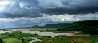
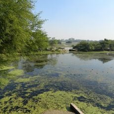
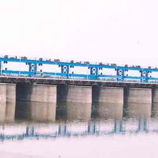
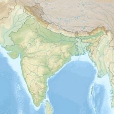
The Indo-Gangetic Plain lies in northern India and stretches between the Himalayas and the Deccan Plateau across a wide alluvial lowland shaped by several major river systems. The landscape appears mostly flat, threaded by canals and fields that extend to the horizon.
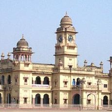
The fertile soils of the plain enabled the rise of the Indus Valley civilization around 3000 BCE and supported the formation of the earliest urban settlements. Over the centuries, further population groups migrated in and introduced new agricultural methods that continue to shape the region today.
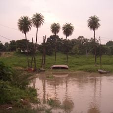
Each village has its own planting patterns, shaped by local waterways and trade routes that have existed for centuries. Along the field paths you can see regional differences in harvesting techniques and the tools farmers pass down through generations.
Travelers experience the plain best during the dry season, when field paths are passable and harvesting is in full swing. The clearest views appear along the overland roads that pass through villages and farmland.
This plain forms the largest continuous stretch of alluvial soil in the world, deposited by three rivers: the Indus, Ganges, and Brahmaputra. Its soil depth reaches over 3300 feet (1000 meters) in some places, a testament to millennia of deposits.
The community of curious travelers
AroundUs brings together thousands of curated places, local tips, and hidden gems, enriched daily by 60,000 contributors worldwide.